Floriańska Street, Kraków
Map
Gallery
Facts and practical information
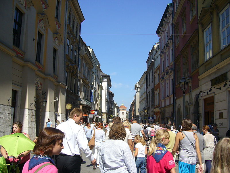
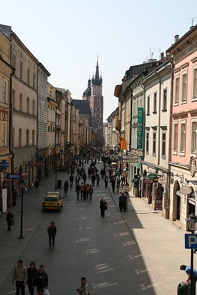
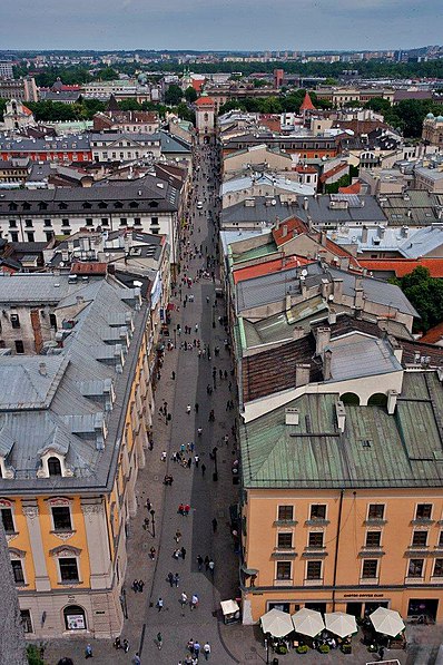
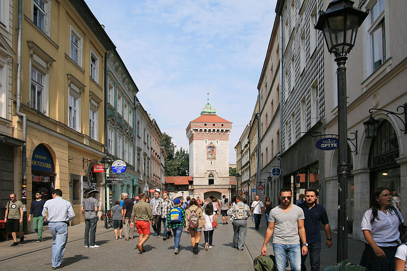
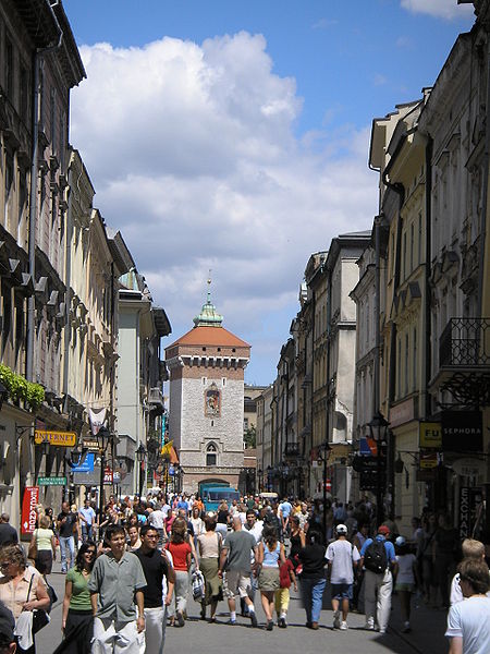
Floriańska Street or St. Florian's Street is one of the main streets in Kraków Old Town and one of the most famous promenades in the city. The street forms part of the regular grid plan of Stare Miasto, the merchants' town that extends the medieval heart of the city, which was drawn up in 1257 after the destruction of the city during the first Mongol invasion of Poland of 1241. ()
Day trips
Floriańska Street – popular in the area (distance from the attraction)
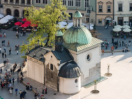
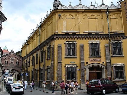
Nearby attractions include: Sukiennice Museum, Church of St. Adalbert, Cloth Hall, St. Mary's Basilica.
Frequently Asked Questions (FAQ)
Which popular attractions are close to Floriańska Street?
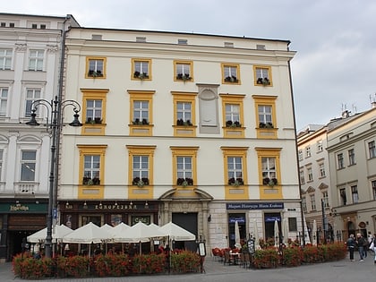
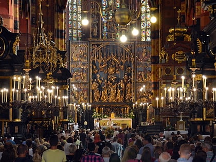
Nearby attractions include Kamienica Hipolitów, Kraków (1 min walk), Italian House, Kraków (2 min walk), St. Mary's Basilica, Kraków (2 min walk), Veit Stoss altarpiece in Kraków, Kraków (2 min walk).
How to get to Floriańska Street by public transport?
The nearest stations to Floriańska Street:
Tram
Bus
Train
Tram
- Poczta Główna • Lines: 1, 10, 24, 3, 52, 62, 69 (6 min walk)
- Plac Wszystkich Świętych • Lines: 1, 13, 18, 6, 69, 8 (7 min walk)
Bus
- Poczta Główna • Lines: 610 (7 min walk)
- Teatr Słowackiego • Lines: 608, 610 (9 min walk)
Train
- Krakow Main Station (15 min walk)
- Kraków Zabłocie (33 min walk)


