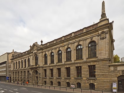
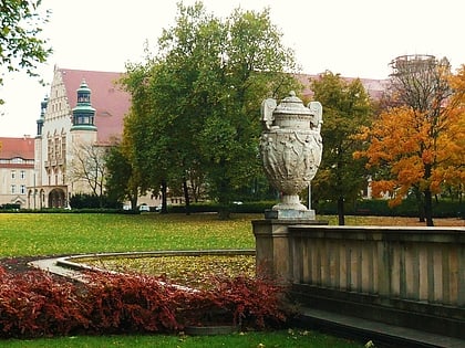
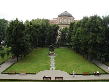
Park Karola Marcinkowskiego, Poznań
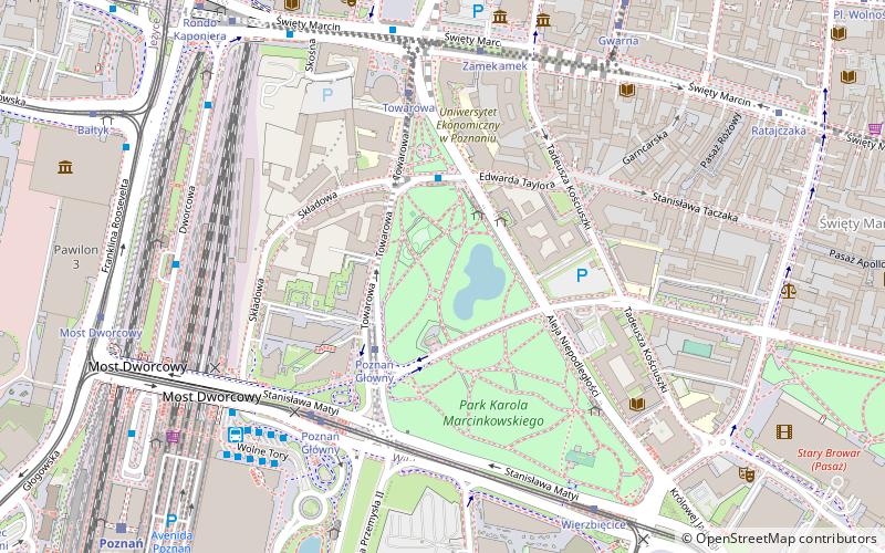
Map
Gallery
Facts and practical information
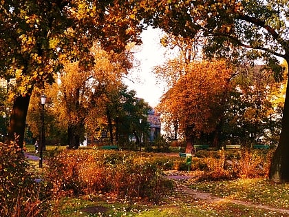
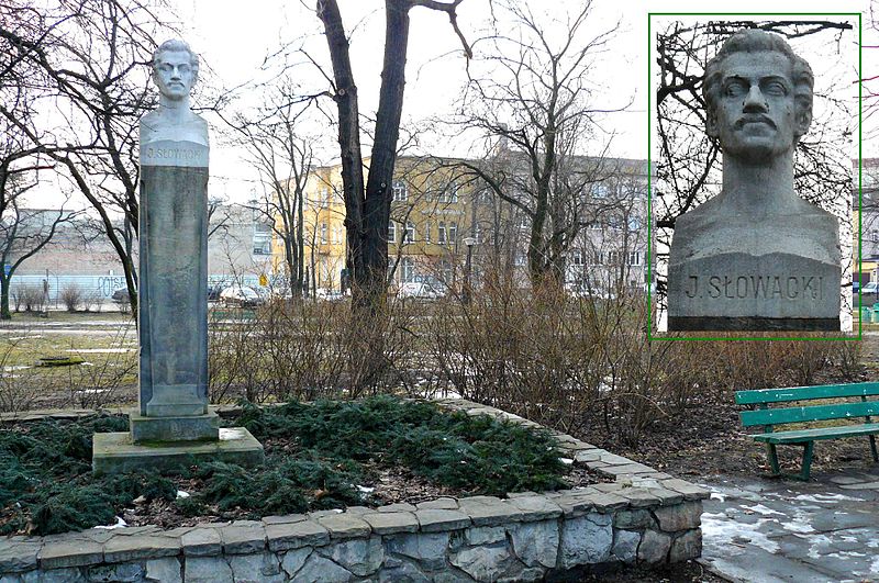
Karol Marcinkowski Park - a historic park located in the center of Poznań at Niepodległości Avenue and Towarowa Street. The current name was given in 1919.
Area: 23.23 acres (0.0363 mi²)Elevation: 262 ft a.s.l.Coordinates: 52°24'17"N, 16°55'4"E
Address
Park MarcinkowskiegoStare MiastoPoznań
ContactAdd
Social media
Add
Day trips
Park Karola Marcinkowskiego – popular in the area (distance from the attraction)
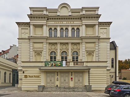
Nearby attractions include: Poznań Philharmonic, Grand Theatre, Imperial Castle, Polish Theatre.
Frequently Asked Questions (FAQ)
Which popular attractions are close to Park Karola Marcinkowskiego?
Nearby attractions include Poznań University of Economics and Business, Poznań (3 min walk), Pomnik Adama Mickiewicza, Poznań (6 min walk), The Museum of Poznań Uprising 1956, Poznań (6 min walk), Enigma Cipher Center, Poznań (6 min walk).
How to get to Park Karola Marcinkowskiego by public transport?
The nearest stations to Park Karola Marcinkowskiego:
Bus
Tram
Light rail
Train
Bus
- Uniwersytet Ekonomiczny • Lines: 171, 215, (N) 232 (3 min walk)
- Poznań Główny • Lines: 171, 215, (N) 232 (3 min walk)
Tram
- Poznań Main Station • Lines: 10, 12, 2, 5, 6 (4 min walk)
- Towarowa • Lines: 2 (4 min walk)
Light rail
- Poznań Główny • Lines: Pkm2, Pkm3, Pkm4 (8 min walk)
- Poznań Garbary • Lines: Pkm2, Pkm3 (30 min walk)
Train
- Poznań Main Station (9 min walk)
