St Catherine's Church, Warsaw
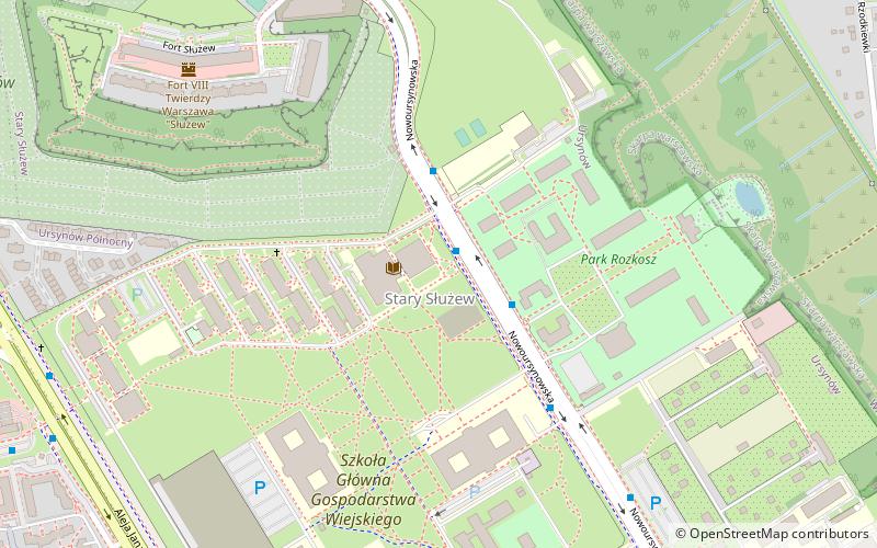
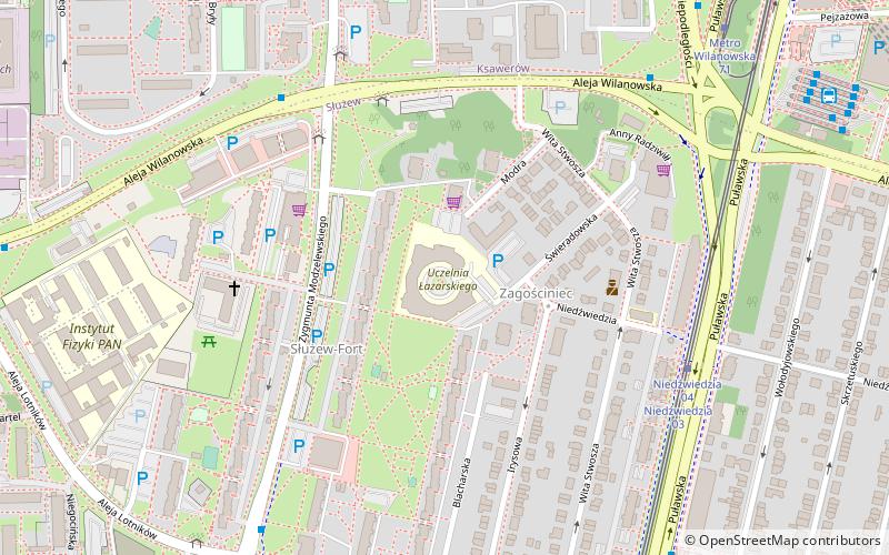
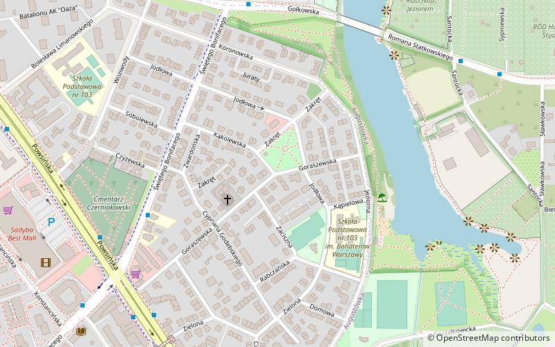
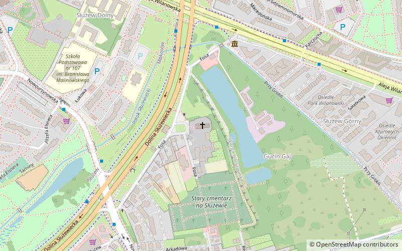
Map
Gallery
Facts and practical information
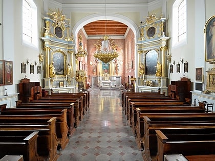
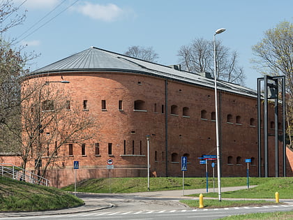
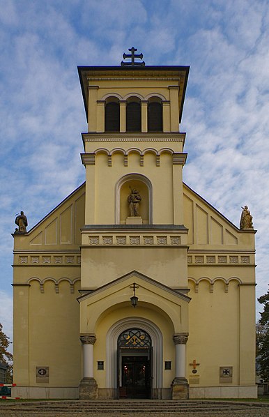
St Catherine's Church in Warsaw, is located in the Ursynów district near Służew. The parish is the oldest existing parish, although not the oldest church, within the current borders of Warsaw. It was founded about half a century before Warsaw's Old Town. ()
Day trips
St Catherine's Church – popular in the area (distance from the attraction)
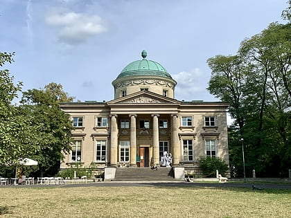
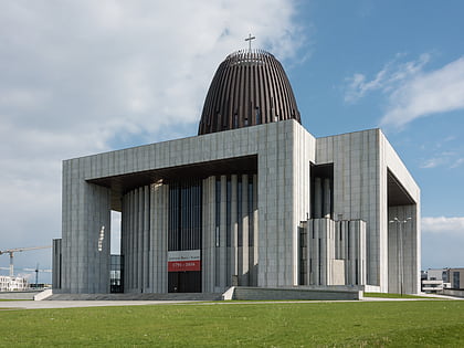
Nearby attractions include: Królikarnia, Museum of Polish Military Technology, Museum of John Paul II and Primate Wyszyński, Muzeum Historii Polskiego Ruchu Ludowego.
Frequently Asked Questions (FAQ)
Which popular attractions are close to St Catherine's Church?
Nearby attractions include Stegny, Warsaw (11 min walk), SGGW, Warsaw (15 min walk), Muzeum Historii Polskiego Ruchu Ludowego, Warsaw (15 min walk), Służew, Warsaw (17 min walk).
How to get to St Catherine's Church by public transport?
The nearest stations to St Catherine's Church:
Bus
Metro
Tram
Bus
- Dolina Służewiecka 03 • Lines: 139, 200, 217, 251, 317, N50 (5 min walk)
- Nowoursynowska 03 • Lines: 148, 166, 193, 401 (7 min walk)
Metro
- Służew • Lines: M1 (20 min walk)
- Ursynów • Lines: M1 (26 min walk)
Tram
- Niedźwiedzia 04 • Lines: 10, 35, 4 (27 min walk)
- Aleja Lotników 07 • Lines: 10, 35, 4 (28 min walk)
