Bastion św. Gertrudy, Gdańsk
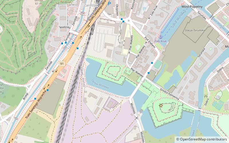
Map
Gallery
Facts and practical information
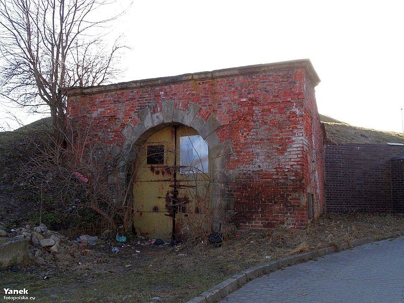
St. Gertrude's Bastion - a bastion of the New Italian type, built in 1607-1638 in Gdansk, the only one preserved in its original shape and the last of the western line of fortifications. One of the fourteen similar bastions that fortified the city in the 17th century, located on the Old Suburbs near the Lower Town.
Coordinates: 54°20'26"N, 18°38'44"E
Address
ŚródmieścieGdańsk
ContactAdd
Social media
Add
Day trips
Bastion św. Gertrudy – popular in the area (distance from the attraction)
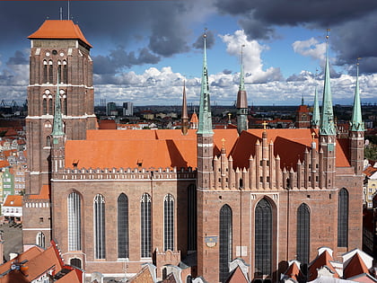
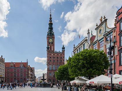
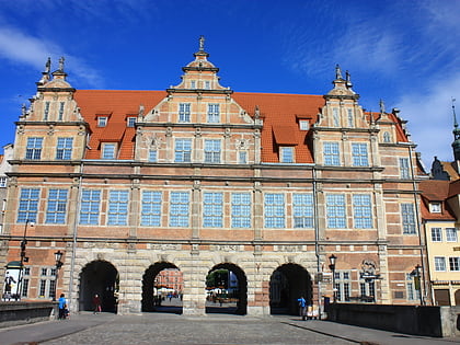
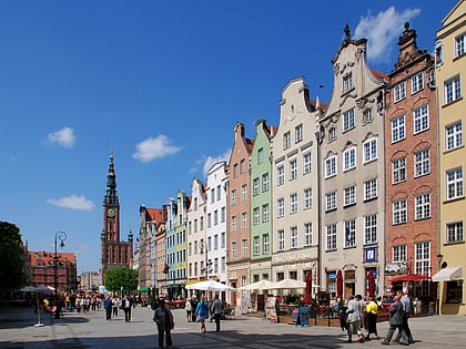
Nearby attractions include: St. Mary's Church, Main Town Hall, Green Gate, Long Market.
Frequently Asked Questions (FAQ)
Which popular attractions are close to Bastion św. Gertrudy?
Nearby attractions include Bastion Żubr, Gdańsk (5 min walk), Biskupia Górka, Gdańsk (9 min walk), National Museum, Gdańsk (9 min walk), Kościół pw. Świętej Trójcy, Gdańsk (10 min walk).
How to get to Bastion św. Gertrudy by public transport?
The nearest stations to Bastion św. Gertrudy:
Bus
Ferry
Train
Tram
Bus
- Brama Nizinna • Lines: 123 (3 min walk)
- Zaroślak • Lines: 189 (4 min walk)
Ferry
- Żabi Kruk • Lines: F5 (5 min walk)
- Zielona Brama • Lines: F5 (17 min walk)
Train
- Gdańsk Śródmieście (12 min walk)
- Gdańsk Główny (28 min walk)
Tram
- Żabi Kruk • Lines: 68, 8, 9 (13 min walk)
- Okopowa • Lines: 68, 8, 9 (13 min walk)

