Myślewicki Palace, Warsaw
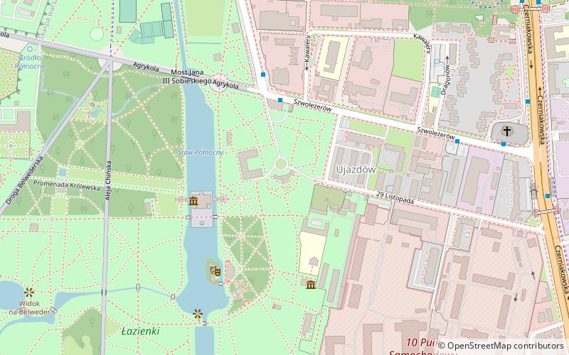
Map
Map

Facts and practical information
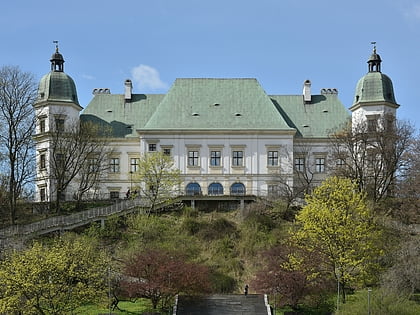
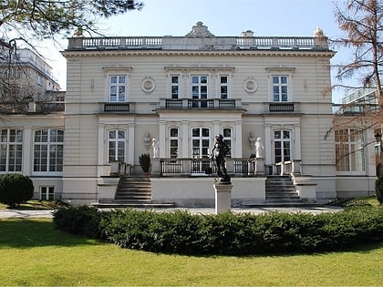
The Myślewicki Palace is a rococo-neoclassical palace in Warsaw's Royal Baths Park. It was created for King Stanisław August Poniatowski as one of the first buildings in the Royal Baths. Its name derives from that of the nearby now nonexistent village of Myślewice. ()
Local name: Pałac Myślewicki w Warszawie Completed: 1779 (247 years ago)Architectural style: NeoclassicismCoordinates: 52°12'56"N, 21°2'18"E
Address
Śródmieścia (Ujazdów)Warsaw
ContactAdd
Social media
Add
Day trips
Myślewicki Palace – popular in the area (distance from the attraction)
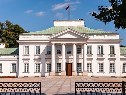
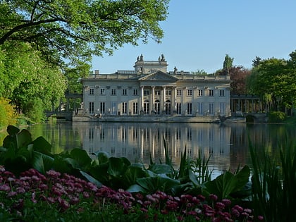
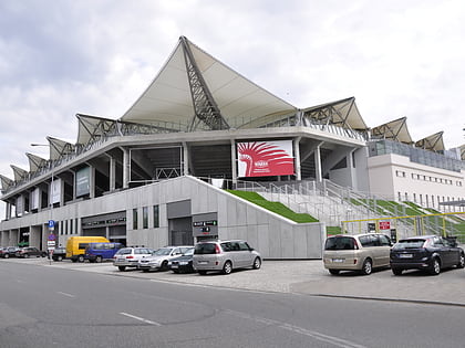
Nearby attractions include: Łazienki Park, Belweder, Palace on the Isle, Legia Warszawa Stadium.
Frequently Asked Questions (FAQ)
Which popular attractions are close to Myślewicki Palace?
Nearby attractions include Palace on the Isle, Warsaw (3 min walk), Museum of Hunting and Horsemanship, Warsaw (4 min walk), Łazienki Park, Warsaw (7 min walk), Museum of the Castle and Military Hospital at Ujazdów, Warsaw (7 min walk).
How to get to Myślewicki Palace by public transport?
The nearest stations to Myślewicki Palace:
Bus
Tram
Metro
Bus
- Agrykola 01 • Lines: 108, 162 (3 min walk)
- Dragonów 01 • Lines: 108, 162 (6 min walk)
Tram
- Plac Unii Lubelskiej 05 • Lines: 10, 14, 18, 35, 4 (19 min walk)
- Trasa Łazienkowska 01 • Lines: 10, 14, 18, 35, 4 (21 min walk)
Metro
- Politechnika • Lines: M1 (26 min walk)
- Racławicka • Lines: M1 (41 min walk)

