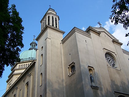
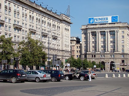
St. Barbara's Church, Warsaw
Map
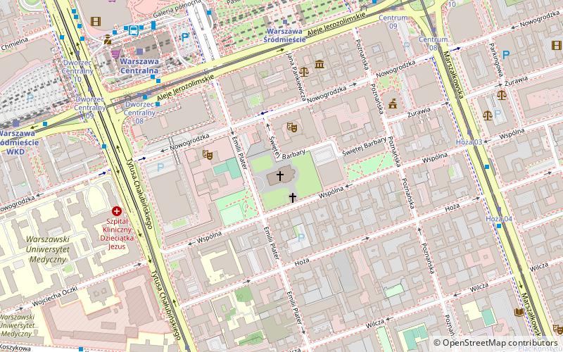
Map

Facts and practical information
Local name: Kaplica i Kościół św. Barbary w Warszawie Completed: 1883 (143 years ago)Coordinates: 52°13'35"N, 21°0'27"E
Address
Nowogrodzka 51Śródmieścia (Śródmieście Południowe)Warsaw 00-695
Contact
Social media
Add
Day trips
St. Barbara's Church – popular in the area (distance from the attraction)
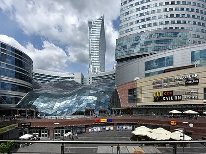
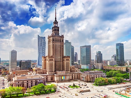
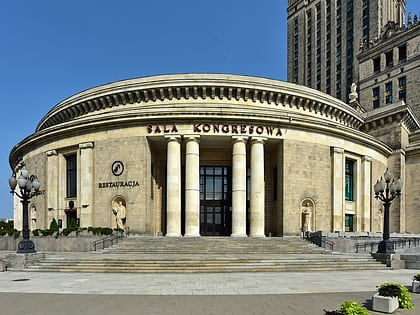
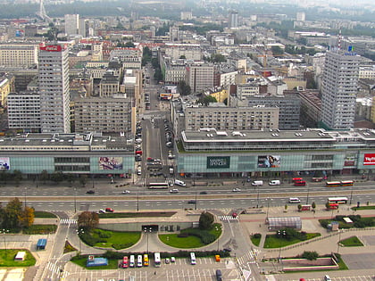
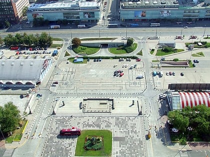
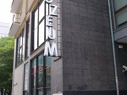
Nearby attractions include: Złote Tarasy, Palace of Culture and Science, Sala Kongresowa, Museum of Technology.
Frequently Asked Questions (FAQ)
Which popular attractions are close to St. Barbara's Church?
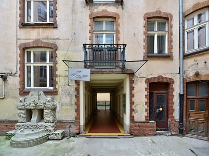
Nearby attractions include Teatr Muzyczny ROMA, Warsaw (2 min walk), Fotoplastikon, Warsaw (4 min walk), Centrum LIM, Warsaw (4 min walk), Museum and Institute of Zoology of the Polish Academy of Sciences, Warsaw (5 min walk).
How to get to St. Barbara's Church by public transport?
The nearest stations to St. Barbara's Church:
Bus
Train
Tram
Metro
Bus
- Dworzec Centralny 01 • Lines: 109, 127, 128, 158, 175, 521 (5 min walk)
- Dworzec Centralny 02 • Lines: 127, 128, 131, 158, 175, 501, 504, 517, 519, 521, 522, 525, N32, N35, N38, N43, N85, N88 (6 min walk)
Train
- Warsaw City Center (6 min walk)
- Warsaw Central (7 min walk)
Tram
- Dworzec Centralny 07 • Lines: 22, 24, 25, 7, 9 (6 min walk)
- Hoża 03 • Lines: 15, 18, 35, 4 (7 min walk)
Metro
- Centrum • Lines: M1 (9 min walk)
- Rondo ONZ • Lines: M2 (16 min walk)
