Parade Square, Warsaw
Map
Gallery
Facts and practical information
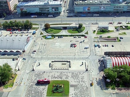
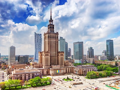
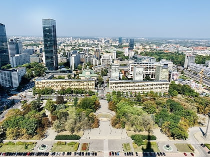
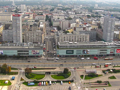
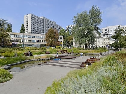
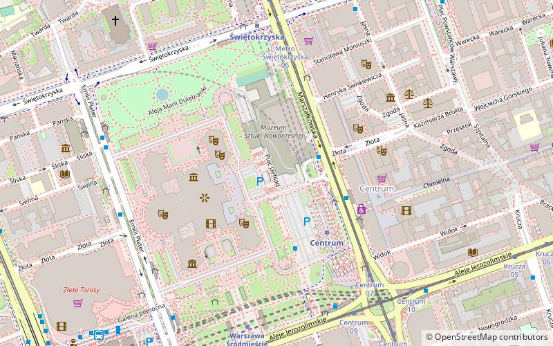
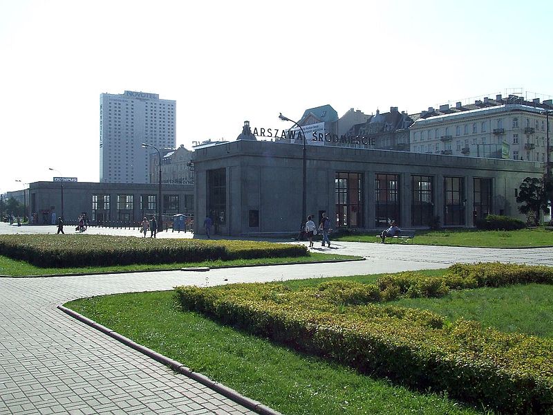
Parade Square is a square in downtown Warsaw. Located between ulica Świętokrzyska in the north, Aleje Jerozolimskie in the south, ulica Marszałkowska in the east and the monumental Palace of Culture and Science to the west, it is one of Warsaw's central squares. It's one of the largest city squares in the world, and the second largest in the European Union, after the Alexanderplatz in Berlin, Germany. ()
Day trips
Parade Square – popular in the area (distance from the attraction)
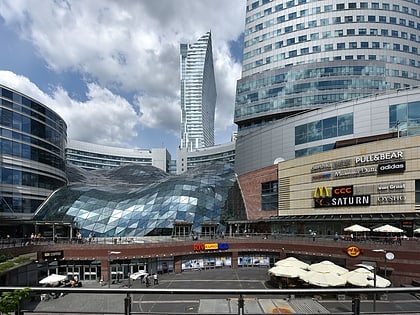
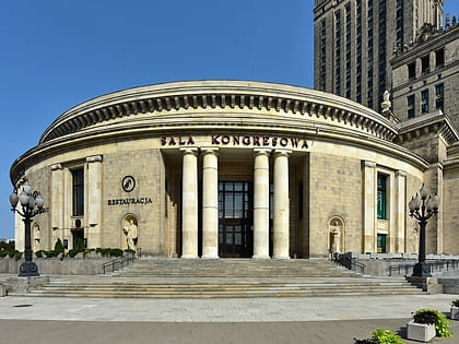
Nearby attractions include: Złote Tarasy, Palace of Culture and Science, Świętokrzyski Park, Sala Kongresowa.
Frequently Asked Questions (FAQ)
Which popular attractions are close to Parade Square?
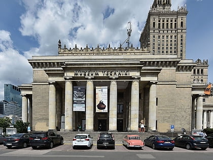
Nearby attractions include Teatr Dramatyczny, Warsaw (3 min walk), Museum of Communism, Warsaw (3 min walk), Museum of Evolution of Polish Academy of Sciences, Warsaw (3 min walk), Collegium Civitas, Warsaw (3 min walk).
How to get to Parade Square by public transport?
The nearest stations to Parade Square:
Bus
Metro
Tram
Train
Bus
- Centrum 53 • Lines: 517, N35, N38, N85, N88 (2 min walk)
- Warszawa, Plac Defilad (3 min walk)
Metro
- Centrum • Lines: M1 (3 min walk)
- Świętokrzyska • Lines: M1, M2 (6 min walk)
Tram
- Metro Świętokrzyska 06 • Lines: 15, 18, 35, 4 (5 min walk)
- Centrum 09 • Lines: 22, 24, 25, 7, 9 (6 min walk)
Train
- Warsaw City Center (6 min walk)
- Warsaw Central (9 min walk)
