Kościół pw. Najświętszej Marii Panny, Poznań
Map
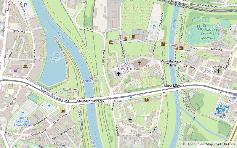
Map

Facts and practical information
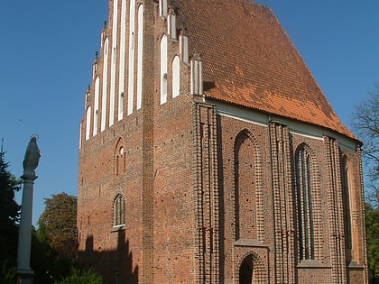
Church of the Blessed Virgin Mary in Poznań - a historic Gothic church on Poznań's Cathedral Island with the remains of an early Piast palace.
Coordinates: 52°24'40"N, 16°56'50"E
Address
Nowe Miasto (Ostrów Tumski-Śródka-Zawady-Komandoria)Poznań
ContactAdd
Social media
Add
Day trips
Kościół pw. Najświętszej Marii Panny – popular in the area (distance from the attraction)
Nearby attractions include: Poznań Cathedral, Poznań Croissant Museum, Wielkopolska Museum of Independence, Church of Saint John of Jerusalem outside the walls.
Frequently Asked Questions (FAQ)
Which popular attractions are close to Kościół pw. Najświętszej Marii Panny?
Nearby attractions include Jan Paweł II, Poznań (1 min walk), Poznań Cathedral, Poznań (2 min walk), Muzeum Archidiecezjalne, Poznań (3 min walk), Jan Kochanowski, Poznań (3 min walk).
How to get to Kościół pw. Najświętszej Marii Panny by public transport?
The nearest stations to Kościół pw. Najświętszej Marii Panny:
Tram
Bus
Train
Light rail
Tram
- Katedra • Lines: 13, 16, 17, 201, 202, 3, 8 (2 min walk)
- Rondo Śródka • Lines: 13, 16, 17, 201, 202, 3, 6, 7, 8 (12 min walk)
Bus
- Katedra n/ż • Lines: 100, 167, 213, 223, 231, 911 (2 min walk)
- Dworzec Śródka (9 min walk)
Train
- Maltanka (12 min walk)
- Poznań Wschód (30 min walk)
Light rail
- Poznań Garbary • Lines: Pkm2, Pkm3 (15 min walk)
