Ostrów Island, Gdańsk
Map
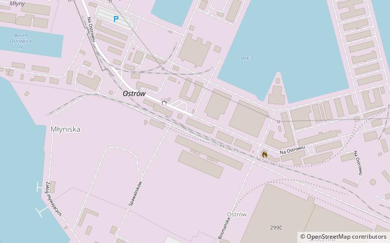
Map

Facts and practical information
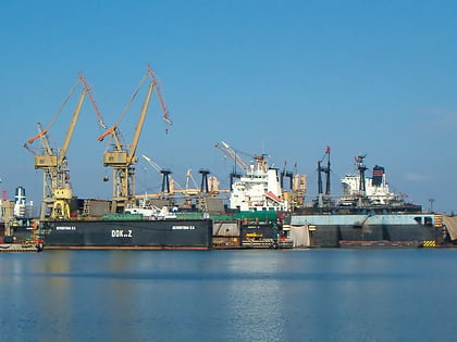
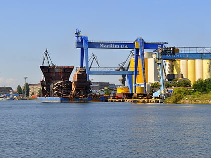
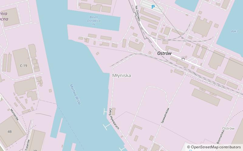
Ostrów Island is an island, located in the delta of Vistula river, within the city limits of Gdańsk in northern Poland. Administratively, it is located within the district of Młyniska. ()
Address
MłyniskaGdańsk
ContactAdd
Social media
Add
Day trips
Ostrów Island – popular in the area (distance from the attraction)
Nearby attractions include: European Solidarity Centre, Gate No 2 of the Gdańsk Shipyard, Cemetery of Lost Cemeteries, St. Catherine's Church.
Frequently Asked Questions (FAQ)
Which popular attractions are close to Ostrów Island?
Nearby attractions include Młyniska, Gdańsk (6 min walk), European Solidarity Centre, Gdańsk (18 min walk), Gate No 2 of the Gdańsk Shipyard, Gdańsk (19 min walk), Monument to the Fallen Shipyard Workers, Gdańsk (20 min walk).
How to get to Ostrów Island by public transport?
The nearest stations to Ostrów Island:
Tram
Train
Bus
Ferry
Tram
- Stocznia SKM • Lines: 10, 7, 8 (17 min walk)
- Plac Solidarności • Lines: 10, 7, 8 (20 min walk)
Train
- Gdańsk Stocznia (17 min walk)
- Gdańsk Nowe Szkoty (25 min walk)
Bus
- Aksamitna • Lines: 100 (23 min walk)
- Wały Piastowskie • Lines: 100 (23 min walk)
Ferry
- Wiosny Ludów • Lines: F5, F6 (27 min walk)
- Sienna Grobla II • Lines: F6 (32 min walk)
