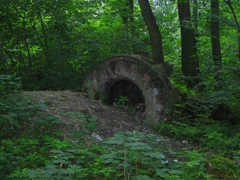
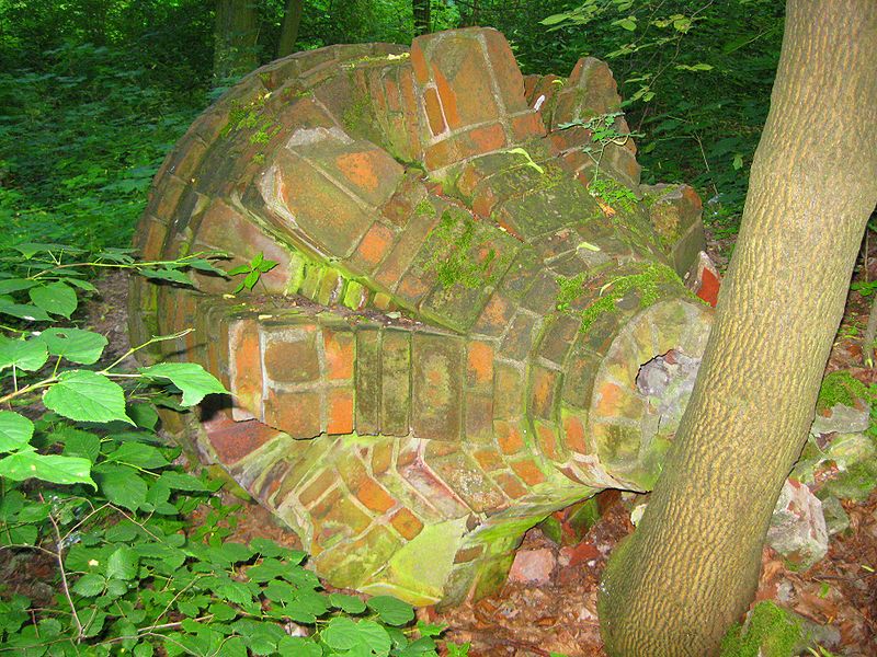
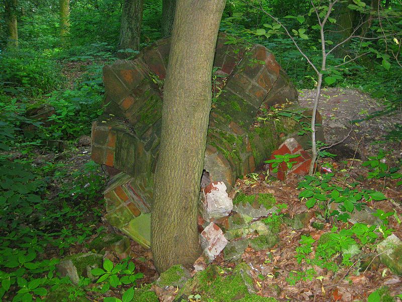
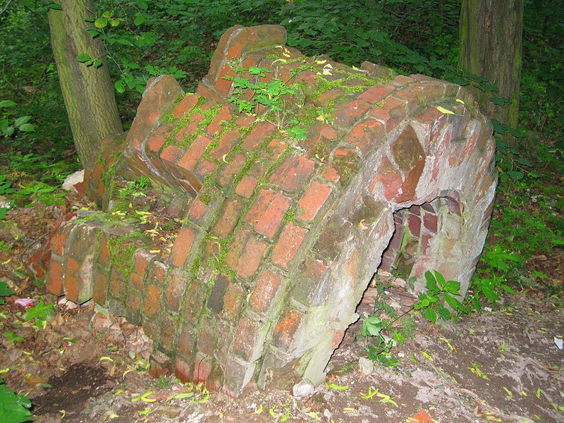
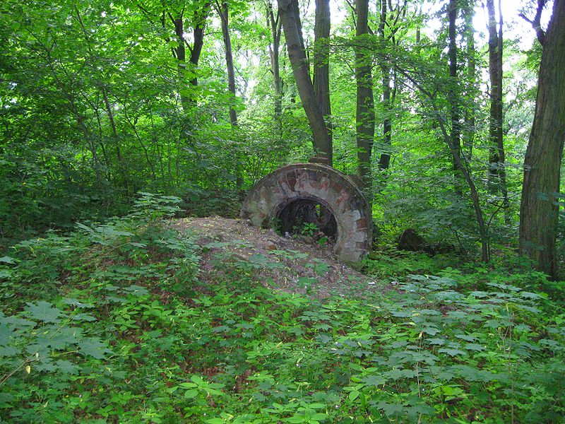
Ruiny Wieży Kleista

Gallery (6)
Map

Map

Gallery
Facts and practical information
Kleist Tower - a now defunct observation tower funded by community funds and voluntary contributions, built in 1891-1892 on the highest elevation of the then Judenberge in Dammvorstadt - the right-bank part of Frankfurt, on the site of the present amusement and recreation park in Słubice.
Coordinates: 52°20'45"N, 14°35'42"E
Location
Lubusz
ContactAdd
Social media
Add
Day trips


