Park Pionierów Słubic, Słubice
Map
Map

Facts and practical information
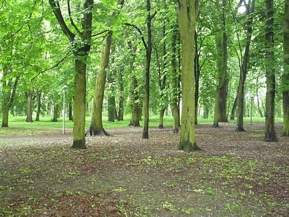
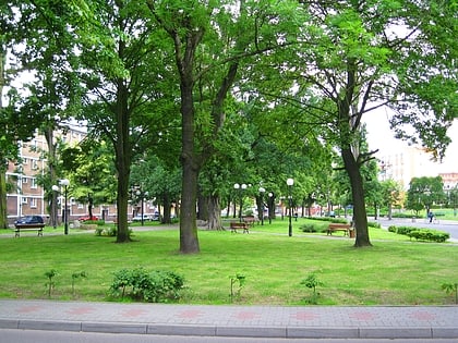
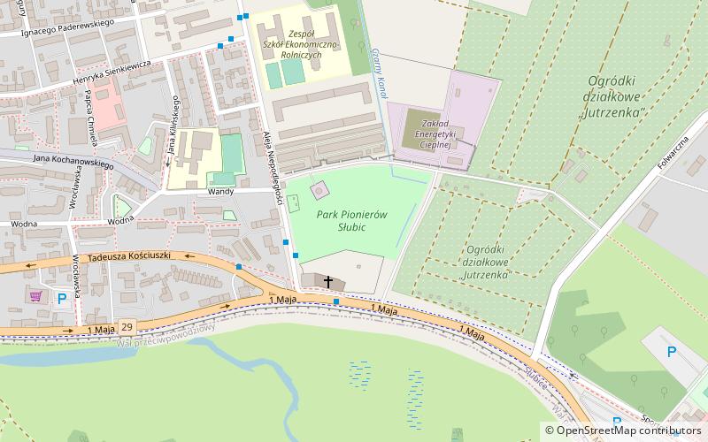
Park of the Pioneers of Słubice - one of the urban greenery complexes in Słubice, about 1.5 km southeast of the former border crossing with Frankfurt/Oder.
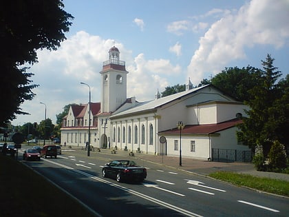
Niepodległości Avenue surrounds it from the west, from the north - an alley with garages, from the east - an access street to the heating plant and allotment gardens, and to the south - the church of the Blessed Virgin Mary the Queen of Poland at 1 Maja Street. The "Black Canal" runs through the park. In German times there was a shooting range in the park.
Elevation: 102 ft a.s.l.Coordinates: 52°20'58"N, 14°34'33"E
Address
Słubice
ContactAdd
Social media
Add
Day trips
Park Pionierów Słubic – popular in the area (distance from the attraction)
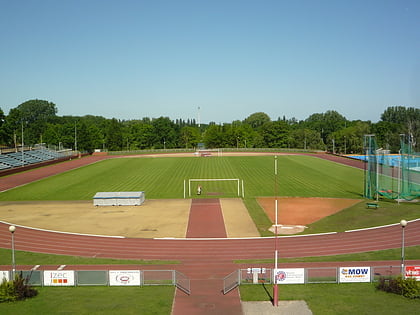
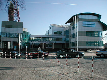
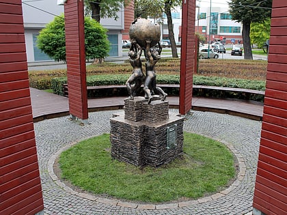
Nearby attractions include: Stadion SOSiR, Collegium Polonicum, Church of the Holy Virgin Mary The Queen of Poland, Wikipedia monument.
Frequently Asked Questions (FAQ)
Which popular attractions are close to Park Pionierów Słubic?
Nearby attractions include Church of the Holy Virgin Mary The Queen of Poland, Słubice (7 min walk), Skwer Plac Wolności, Słubice (13 min walk), Kasia of Heilbronn Monument, Słubice (13 min walk), Pomnik Bohaterów, Słubice (13 min walk).
