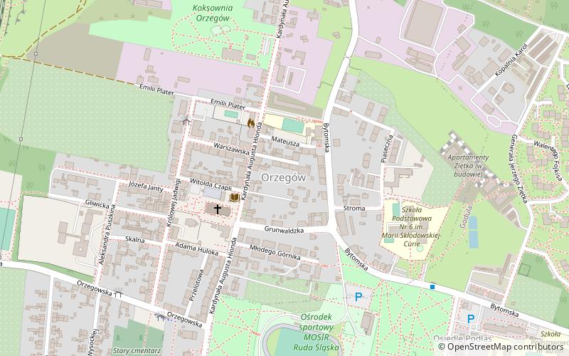
Orzegów, Ruda Śląska
Map

Map

Facts and practical information
Orzegów is a district in the north-east of Ruda Śląska, Silesian Voivodeship, southern Poland. It has an area of 2.5 km2 and in 2006 it was inhabited by 8,439 people. ()
Address
Ruda Śląska
ContactAdd
Social media
Add
Day trips
Orzegów – popular in the area (distance from the attraction)
Nearby attractions include: Kolonia Zgorzelec, Muzeum Miejskie im. Maksymiliana Chroboka, Kościół par. pw. św. Józefa, Kościół Świętej Rodziny.
Frequently Asked Questions (FAQ)
Which popular attractions are close to Orzegów?
Nearby attractions include Kościół par. pw. św. Michała Archanioła, Ruda Śląska (3 min walk), Godula, Ruda Śląska (18 min walk), Kościół Ścięcia św. Jana Chrzciciela, Ruda Śląska (21 min walk), Szombierki, Bytom (22 min walk).
How to get to Orzegów by public transport?
The nearest stations to Orzegów:
Bus
Tram
Train
Bus
- Orzegów Królowej Jadwigi • Lines: 121 (4 min walk)
- Orzegów Orzegowska • Lines: 121, 146, 147, 155, 230, 255 (7 min walk)
Tram
- Godula Inkubator • Lines: T39, T9 (16 min walk)
- Godula Osiedle Paryż • Lines: T39, T9 (17 min walk)
Train
- Ruda Śląska (31 min walk)


