Izerskie Garby, Szklarska Poręba
#6 among attractions in Szklarska Poręba
![Izerskie Garby location map](https://tzmedia.b-cdn.net/media/images/static-maps/pl/50_8511_15_4361.jpg)
Facts and practical information
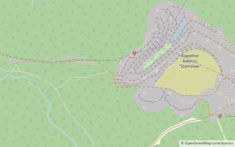
Izerskie Garby is an elevation of 1,084 m above sea level in southwestern Poland, in the Western Sudetes, in the Jizera Mountains, in the High Ridge.
Szklarska Poręba Poland
Szklarska Poręba plan & book
Unleash the traveler in you — discover the cheapest flight deals, find the perfect hotel or hostel nearby, and search for the best car rental prices. Travel at your own pace to discover new places and enjoy your journey.
Izerskie Garby – popular in the area (distance from the attraction)
Nearby attractions include: Główny Szlak Sudecki, Śnieżne Kotły, Szrenica, Łabski Szczyt.
6 miNWHiking, Hiking trailGłówny Szlak Sudecki, Świeradów-Zdrój
153 min walk • Główny Szlak Sudecki is a public hiking trail in Poland running along the Sudetes. The total length of this route is 443 km and the approximate time to cover it's about 120 hours. The trail was constructed in 1947 and throughout its history has been several times modified. It is blazed red.
7.3 miSENature, Natural attraction, ValleyŚnieżne Kotły, Karkonosze National Park
186 min walk • Śnieżne Kotły are two glacial cirques situated in Poland in the Sudetes in the Karkonosze National Park. They are a unique example of the alpine landscape in the area and have been a nature reserve since 1933.
5 miSENature, Natural attraction, MountainSzrenica, Szklarska Poręba
128 min walk • Szrenica is a mountain peak situated in the western part of Giant Mountains in Poland, very close to the Polish-Czech border, within the Karkonosze National Park. Its name originates from the Polish word szron. There is a weather station situated close to the summit.
6.8 miSENature, Natural attraction, MountainŁabski Szczyt, Krkonose / Karkonosze
174 min walk • Łabski Szczyt or Violík is a mountain peak located in the western Giant Mountains on the Czech-Polish border. The source of the Elbe River, one of Europe's major rivers, is situated on the southern slopes of the mountain.
3.7 miSEHiking, Waterfall, ParkSchronisko Kamieńczyk, Szklarska Poręba
94 min walk • "Kamieńczyk" Hostel - a private tourist hostel located in the Karkonosze Mountains, next to the famous Kamieńczyk waterfall.
4.8 miE 4.2 miE50°50'21"N • 15°31'48"EDom Carla i Gerharta Hauptmannów - Muzeum Karkonoskie, Szklarska Poręba
107 min walk • Museum
6 miSENature, Natural attraction, CliffBorówczane Skały
152 min walk • Blueberry Rocks - a group of granite rocks in the Western Sudetes, in the Karkonosze range.
4.6 miSEMuseumMuzeum Mineralogiczne, Szklarska Poręba
117 min walk • Mineralogical Museum in Szklarska Poreba - a private museum based in Szklarska Poreba. The institution is a project of the Sokołowski family, which also owns the Stone Museum in Kamień Pomorski.
3.5 miWParkRezerwat Torfowiska Doliny Izery
90 min walk • The Izera Valley Peat Bogs Nature Reserve - a peat bog nature reserve in Lower Silesia, located in Mirsk municipality and partially in the Szklarska Poreba municipality. It includes, among other things, part of the Izera Hall, and at its border...
2.1 miSWNature, Natural attraction, MountainCicha Równia, Szklarska Poręba
53 min walk • Cicha Równia - - a peak 1001 m above sea level in southwestern Poland, in the Western Sudetes, in the Jizera Mountains, in the High Ridge.