Gołogóra, Wolin
Map

Map

Facts and practical information
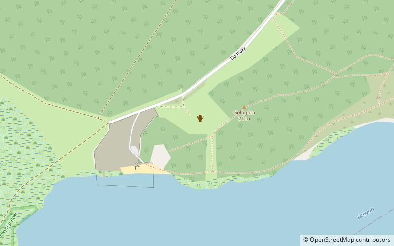
Gołogóra - an elevation of 21.0 m above sea level on Wolin Island, on the shore of the Dziwna Strait, within the city limits of Wolin.
An archaeological reserve was established on the hill called the Hill of Hanged Men.
The name Gołogóra was officially introduced by decree in 1948, replacing the previous German name Galgen Berg.
Coordinates: 53°49'47"N, 14°36'5"E
Address
Wolin
ContactAdd
Social media
Add
Day trips
Gołogóra – popular in the area (distance from the attraction)
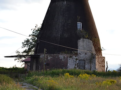
Nearby attractions include: Smock mill, Regional Museum, Skansen "Wioska Wikingów", Kościół pw. św. Stanisława.
Frequently Asked Questions (FAQ)
Which popular attractions are close to Gołogóra?
Nearby attractions include Wzgórze Wisielców, Wolin (1 min walk), Smock mill, Wolin (22 min walk).


