Żabie Doły, Chorzów
Map

Gallery

Facts and practical information
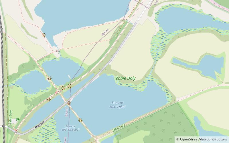
Żabie Doły is a nature and landscape protected area in Silesia, Poland. The Żabie Doły complex is located entirely within the Silesian Metropolis and encompasses land heavily altered by human activity. The protected area covers 2.262 km². At Żabie Doły, 129 species of birds have been identified, including 70 nesting species and 17 species rare in the region. Other fauna and flora is also well represented. ()
Local name: Zespół przyrodniczo-krajobrazowy „Żabie Doły” Elevation: 915 ft a.s.l.Coordinates: 50°19'54"N, 18°57'28"E
Address
Chorzów
ContactAdd
Social media
Add
Day trips
Żabie Doły – popular in the area (distance from the attraction)
Nearby attractions include: Silesian Stadium, Sleeping Lion, Stadion Skałka im. Pawła Waloszka, Bytom Castle.
Frequently Asked Questions (FAQ)
How to get to Żabie Doły by public transport?
The nearest stations to Żabie Doły:
Bus
Tram
Train
Bus
- Maciejkowice Dolina Górnika • Lines: 98 (17 min walk)
- Rozbark Droga do Szybu Lompy n/ż • Lines: 148, 185, 42, 85, 91 (17 min walk)
Tram
- Łagiewniki Cemetery • Lines: T19, T6 (20 min walk)
- Bytom Arki Bożka • Lines: T19, T6 (20 min walk)
Train
- Chorzów Stary (27 min walk)


