Most Łazienkowski, Warsaw
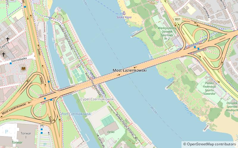
Map
Gallery
Facts and practical information
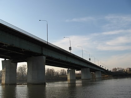
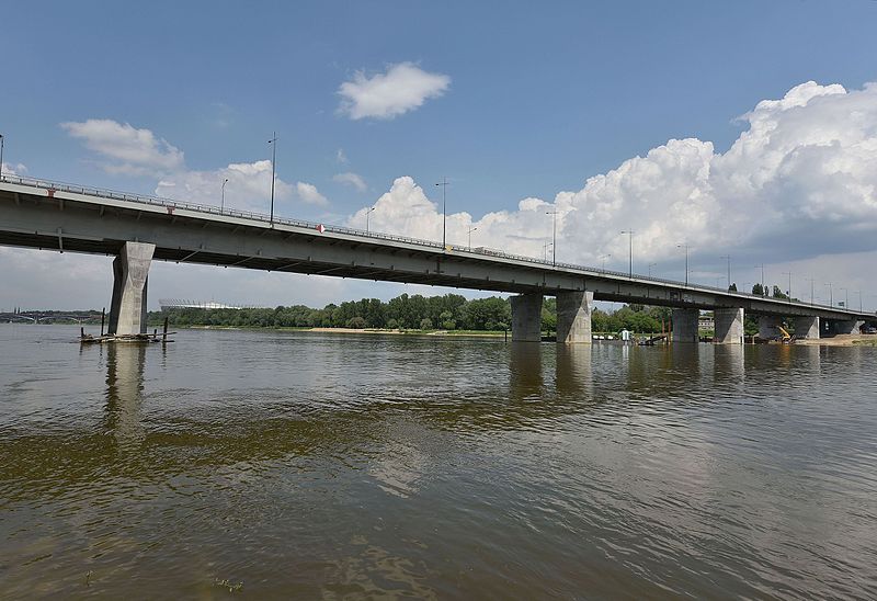
Łazienkowski Bridge is a five-span steel bridge, across the Vistula in Warsaw, Poland. It is 423 m long and 28 m wide, holding three lanes for vehicles each way, dedicated cycling lanes and sidewalks for pedestrians. The name refers to the Łazienki Park and Łazienki Palace, which are located to the south-west of the bridge. ()
Alternative names: Opened: 22 July 1974 (51 years ago)Length: 1388 ftWidth: 92 ftCoordinates: 52°13'31"N, 21°2'56"E
Address
Most ŁazienkowskiŚródmieścia (Ujazdów)Warsaw
ContactAdd
Social media
Add
Day trips
Most Łazienkowski – popular in the area (distance from the attraction)
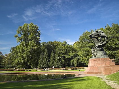
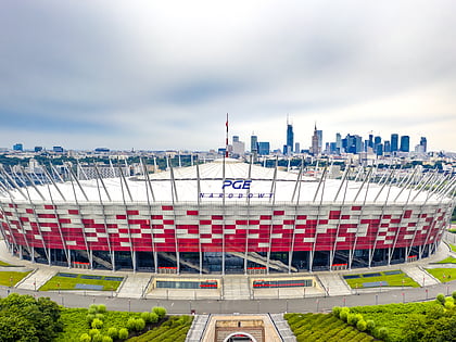
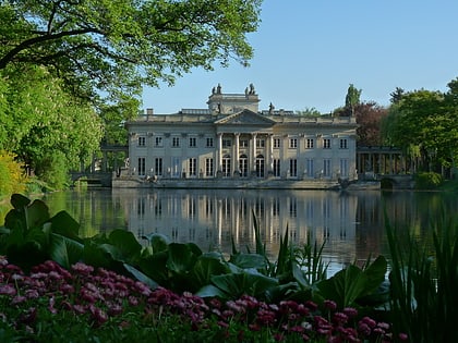
Nearby attractions include: Łazienki Park, National Stadium, Polish Army Museum, Muzeum Azji i Pacyfiku.
Frequently Asked Questions (FAQ)
Which popular attractions are close to Most Łazienkowski?
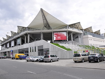
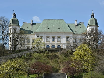
Nearby attractions include Solec, Warsaw (8 min walk), Legia Warsaw Museum, Warsaw (11 min walk), Legia Warszawa Stadium, Warsaw (11 min walk), Museum of the Castle and Military Hospital at Ujazdów, Warsaw (17 min walk).
How to get to Most Łazienkowski by public transport?
The nearest stations to Most Łazienkowski:
Bus
Tram
Train
Metro
Bus
- Torwar 04 • Lines: 185 (6 min walk)
- Torwar 01 • Lines: 138, 143, 151, 182, 188, N25 (6 min walk)
Tram
- Most Poniatowskiego 03 • Lines: 22, 24, 25, 7, 9 (22 min walk)
- Rondo Waszyngtona 06 • Lines: 24, 9 (23 min walk)
Train
- Warszawa Powiśle (27 min walk)
Metro
- Centrum Nauki Kopernik • Lines: M2 (32 min walk)
