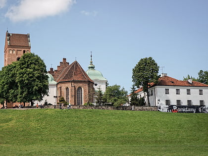
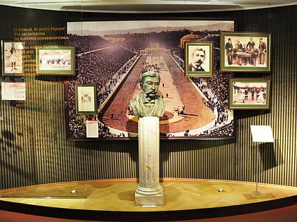
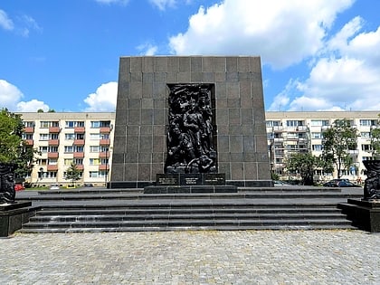
Żoliborz, Warsaw
Map
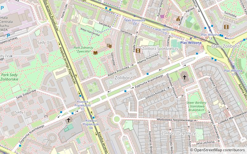
Map

Facts and practical information
Żoliborz is one of the northern districts of the city of Warsaw. It is located directly to the north of the City Centre, on the left bank of the Vistula river. It has approximately 50,000 inhabitants and is one of the smallest boroughs of Warsaw. Historically an upscale neighbourhood and home to Warsaw's intelligentsia prior to World War II, Żoliborz is the second most expensive residential district in Warsaw after Śródmieście. ()
Day trips
Żoliborz – popular in the area (distance from the attraction)
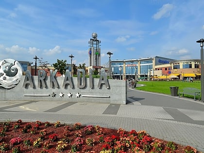
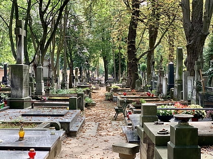
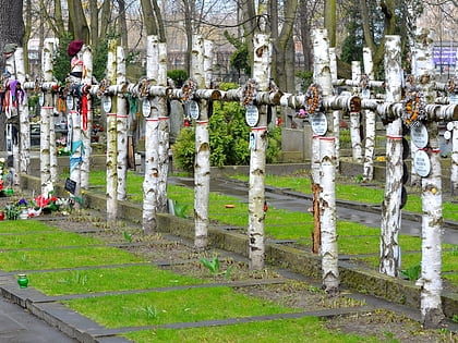
Nearby attractions include: Arkadia Shopping Complex, Powązki Cemetery, Cmentarz Wojskowy na Powązkach, Warsaw Citadel.
Frequently Asked Questions (FAQ)
Which popular attractions are close to Żoliborz?
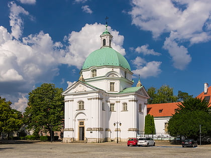
Nearby attractions include Komedia, Warsaw (3 min walk), St. Stanislaus Kostka Church, Warsaw (5 min walk), Wilson Square, Warsaw (5 min walk), Park im. Stefana Żeromskiego, Warsaw (11 min walk).
How to get to Żoliborz by public transport?
The nearest stations to Żoliborz:
Bus
Tram
Metro
Train
Bus
- Suzina 01 • Lines: 114, 122, 303, N46 (2 min walk)
- Księdza Popiełuszki 01 • Lines: N13, N63 (4 min walk)
Tram
- Księdza Popiełuszki 03 • Lines: 17, 27 (4 min walk)
- Teatr Komedia 03 • Lines: 6 (5 min walk)
Metro
- Plac Wilsona • Lines: M1 (6 min walk)
- Marymont • Lines: M1 (12 min walk)
Train
- Warszawa Gdańska (21 min walk)
- Warszawa Powązki (22 min walk)
