Park Młynówka Królewska, Kraków
Map
Gallery
Facts and practical information
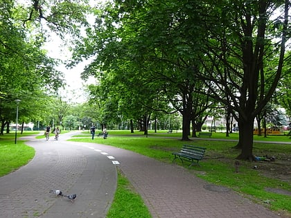
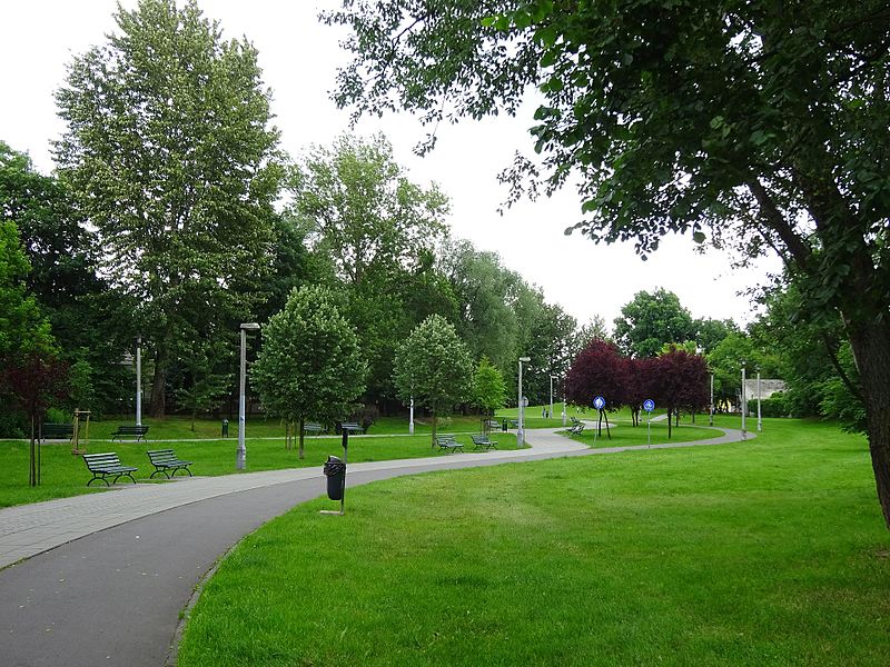
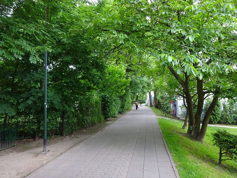
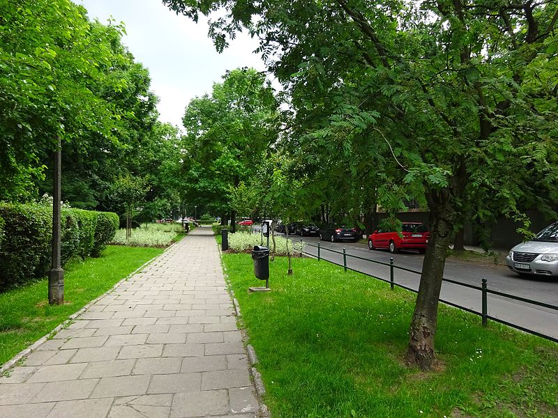
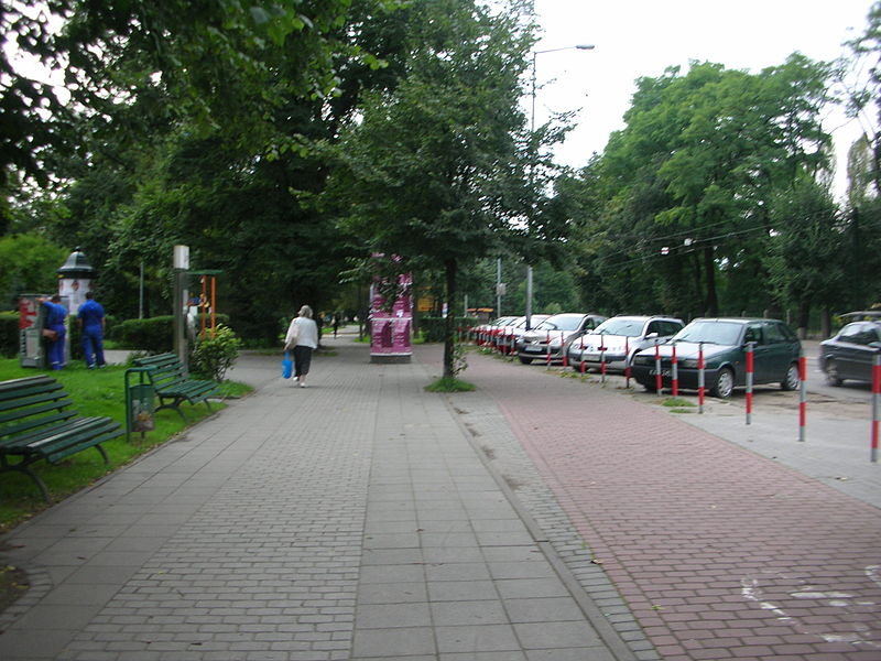
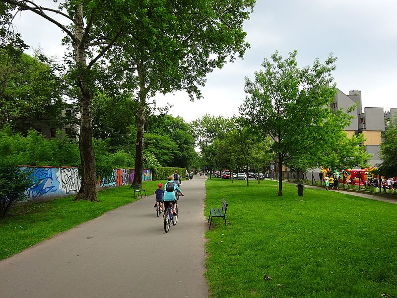
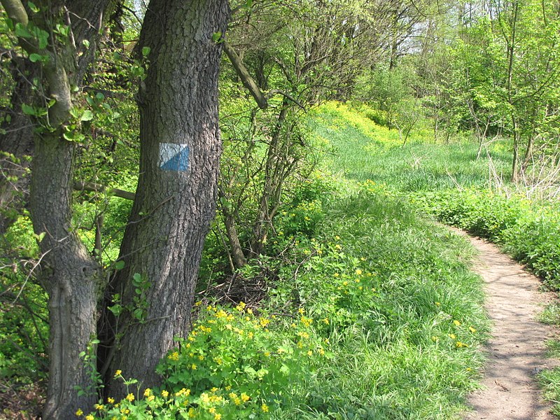
Młynówka Królewska - an artificial channel of the Rudawa River built in the 13th century between Mydlniki, Bronowice, Łobzów and Kraków. In the years 1903-1966 it was mostly channelled or filled up. The Młynówka Królewska Park created in its place runs through Districts V Krowodrza and VI Bronowice, is 8 km long, has an average width of 8 metres and an area of 18.41 ha.
Elevation: 686 ft a.s.l.Coordinates: 50°4'49"N, 19°51'14"E
Address
Bronowice (Mydlniki Południe)Kraków
ContactAdd
Social media
Add
Day trips
Park Młynówka Królewska – popular in the area (distance from the attraction)
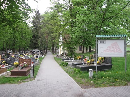
Nearby attractions include: Regionalne Muzeum Młodej Polski "Rydlówka", Park Decjusza, Giełda, Cmentarz Mydlniki.
Frequently Asked Questions (FAQ)
Which popular attractions are close to Park Młynówka Królewska?
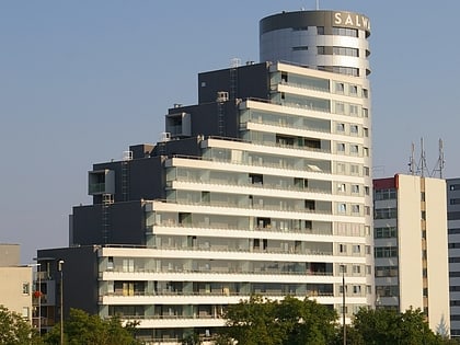
Nearby attractions include Cmentarz Mydlniki, Kraków (18 min walk), Bronowice, Kraków (19 min walk).
How to get to Park Młynówka Królewska by public transport?
The nearest stations to Park Młynówka Królewska:
Bus
Train
Bus
- Godlewskiego • Lines: 139, 601 (4 min walk)
- Młynówka SKA N/Ż • Lines: 139, 601 (6 min walk)
Train
- Kraków Zakliki (6 min walk)
- Kraków Młynówka (6 min walk)
