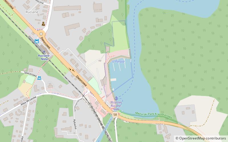
Port Jachtowy "U Faryja", Ruciane-Nida
Map

Map

Facts and practical information
Port Jachtowy "U Faryja" (address: Ul. Dworcowa 6g) is a place located in Ruciane-Nida (Warmian-Masurian voivodeship) and belongs to the category of sailing, marina.
It is situated at an altitude of 404 feet, and its geographical coordinates are 53°38'53"N latitude and 21°34'8"E longitude.
Among other places and attractions worth visiting in the area are: Wodnik (sailing, 19 min walk), Stanica Żeglarska "Korektywa" (sailing, 71 min walk), Puszcza Piska (nature, 84 min walk).
Coordinates: 53°38'53"N, 21°34'8"E
Address
Ul. Dworcowa 6gRuciane-Nida
ContactAdd
Social media
Add
Day trips
Port Jachtowy "U Faryja" – popular in the area (distance from the attraction)
Nearby attractions include: Masurian Landscape Park, Puszcza Piska, Park Dzikich Zwierząt w Kadzidłowie, Molenna Staroobrzędowców.


