Public Beach Stawiki, Sosnowiec
Map
Gallery
Facts and practical information
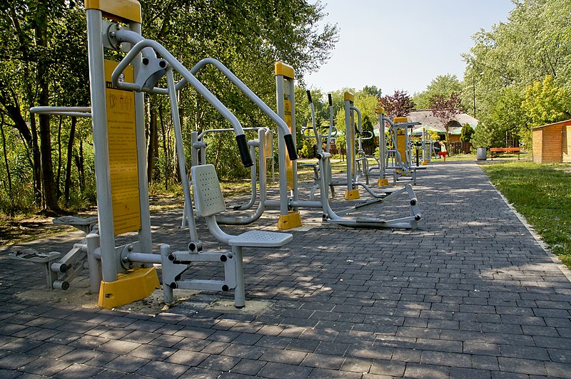
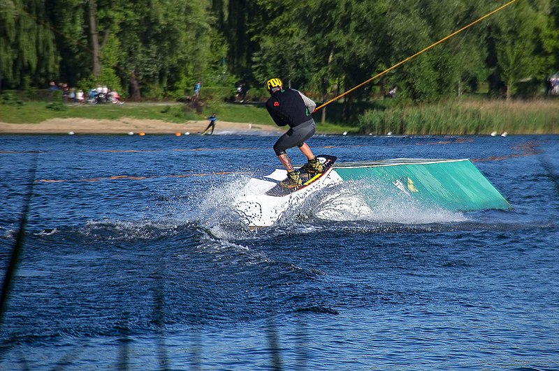
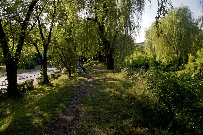
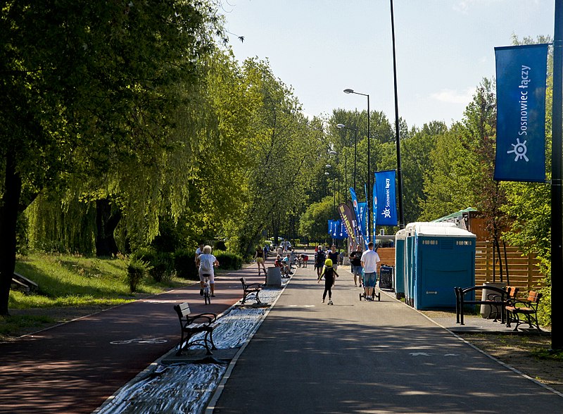
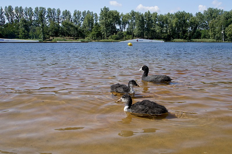
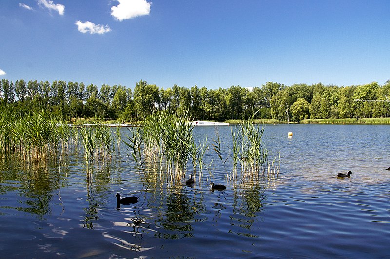
Stawiki reservoir in Sosnowiec and a recreational complex of the same name, located on the outskirts of Jan Fusiński Park, in the western part of the city on the border with Katowice. The pond is located in the area, which before 1960 belonged to the then city of Szopienice. The area, through an administrative decision to change the boundary of Szopienice, became part of the city of Sosnowiec.
Coordinates: 50°16'26"N, 19°6'40"E
Address
Kresowa 1Zespół dzielnic wschodnich (Szopienice-Burowiec)Sosnowiec
Contact
Social media
Add
Day trips
Public Beach Stawiki – popular in the area (distance from the attraction)
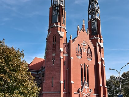
Nearby attractions include: Dietel Palace, Oskar Schöen's Palace, St. John Evangelical Church, Sosnowiec Cathedral.
Frequently Asked Questions (FAQ)
Which popular attractions are close to Public Beach Stawiki?
Nearby attractions include Pola Negri, Sosnowiec (14 min walk), Kotwica, Sosnowiec (17 min walk), Teatr Zagłębia, Sosnowiec (17 min walk), Pomnik Jana Kiepury, Sosnowiec (20 min walk).
How to get to Public Beach Stawiki by public transport?
The nearest stations to Public Beach Stawiki:
Tram
Bus
Train
Tram
- Sosnowiec Brynica • Lines: T15 (4 min walk)
- Szopienice Stawiki • Lines: T15 (8 min walk)
Bus
- Sosnowiec Osiedle Piastów • Lines: 299, 813, 835, M4 (11 min walk)
- Osiedle Naftowa Akacjowa • Lines: 26, 55 (11 min walk)
Train
- Sosnowiec Południowy (18 min walk)
- Sosnowiec Główny (20 min walk)


