Ursus, Warsaw

Gallery (1)
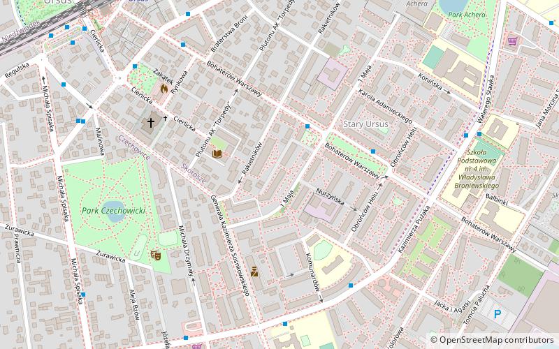
Map
Map
Facts and practical information
Ursus is a district of Warsaw, one of the 18 such units into which the city is divided. Between 1952 and 1977 it was a separate city. Until 1954 it was known as Czechowice. ()
Getting there by public transportation
Public transportation stops near this location
- Bus
- Train
 Bus
Bus
- Calculate routePl. Tysiąclecia 01 2 min walk
- Calculate routeWapowskiego 02 5 min walk
- Calculate routeSosnkowskiego 01 5 min walk
- Calculate routeWarszawa Ursus 8 min walk
- Calculate routeWarszawa Ursus Niedźwiadek 22 min walk
- Calculate routeWarszawa Ursus Północny 23 min walk
- Calculate routeOpacz 26 min walk
Day trips


Frequently Asked Questions (FAQ)
How to get to Ursus by public transport?
The nearest stations to Ursus:
Bus
Train
Bus
- Pl. Tysiąclecia 01 • Lines: 129, 177, 187, 401 (2 min walk)
- Wapowskiego 02 • Lines: 177, 191, 517, N35, N85 (5 min walk)
Train
- Warszawa Ursus (8 min walk)
- Warszawa Ursus Niedźwiadek (22 min walk)