Połczyńska Street, Warsaw

Facts and practical information
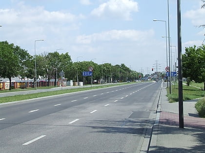
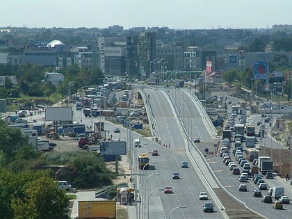
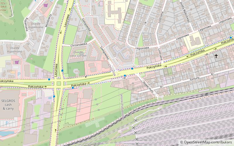
Połczyńska Street is a major thoroughfare in Warsaw, Poland. Located in the western part of the city, in the borough of Bemowo, the street crosses the neighbourhoods of Chrzanów and Jelonki. It starts as a continuation of Wolska Street, crosses Powstańców Śląskich Street and leaves the city where it becomes the Poznańska Street of Ożarów Mazowiecki. Historically the street, variously known as the Kalisz Road, Poznań Road or Greater Poland Road, was the main road from Warsaw towards Błonie, Sochaczew, Kalisz and ultimately Poznań. Its entire length was formally incorporated into the city of Warsaw in 1950s. ()
Bemowo (Jelonki Południowe)Warsaw
Połczyńska Street – popular in the area (distance from the attraction)
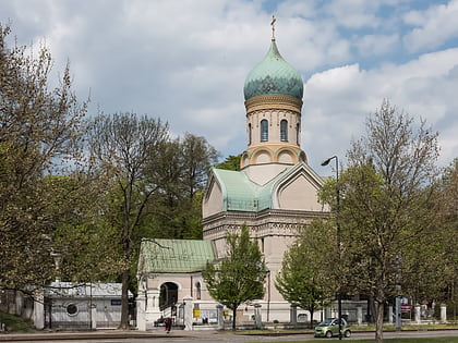
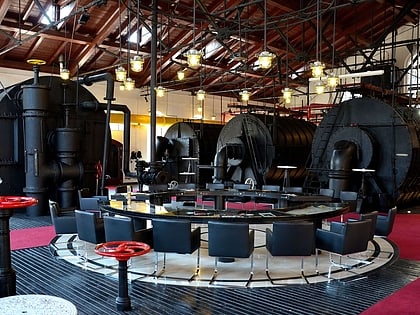
Nearby attractions include: Blue City, St. John Climacus's Orthodox Church, Warsaw Gasworks Museum, Górka Szczęśliwicka.
Frequently Asked Questions (FAQ)
How to get to Połczyńska Street by public transport?
Bus
- Drzeworytników 01 • Lines: 105, 197, 713, 743, N42 (1 min walk)
- Lazurowa 03 • Lines: 220 (6 min walk)
Tram
- Ciepłownia Wola 08 • Lines: 10, 11, 26 (21 min walk)
- Synów Pułku 04 • Lines: 10, 11, 26 (23 min walk)
Train
- Warszawa Ursus Północny (23 min walk)
- Warszawa Włochy (25 min walk)
