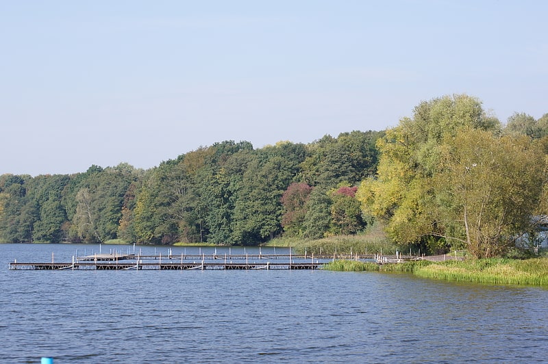
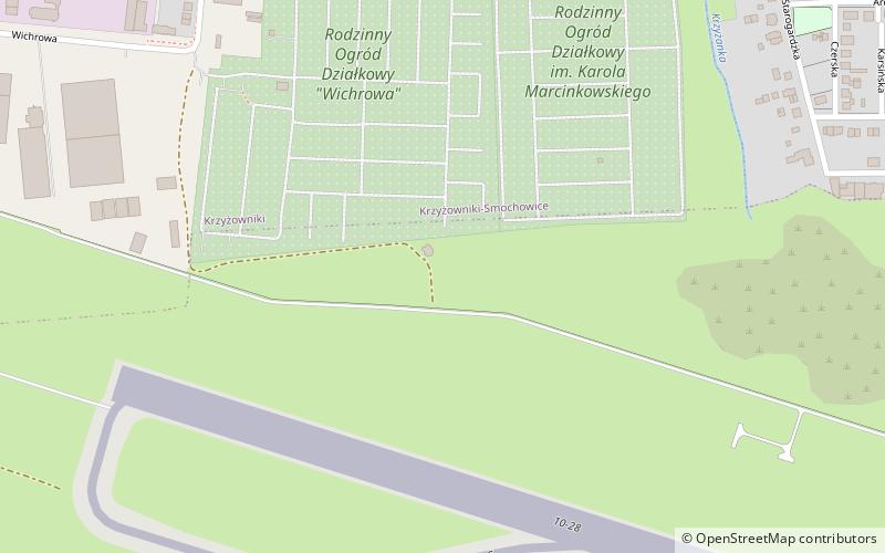
Plaża Krzyżowniki, Poznań
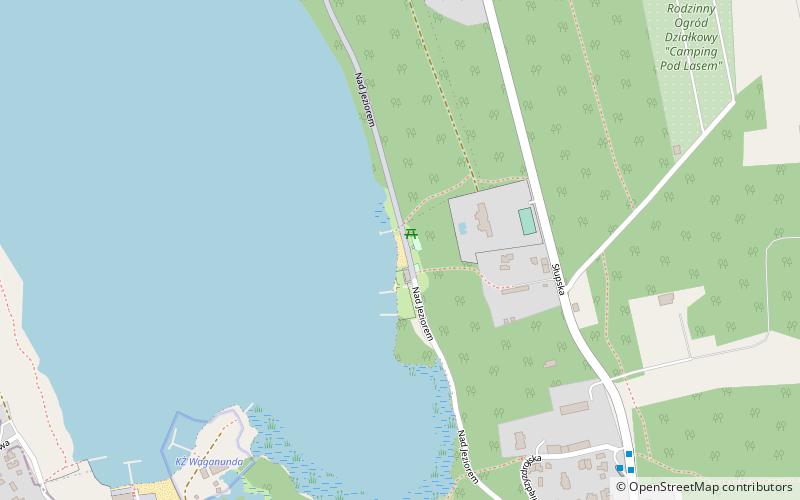
Map
Facts and practical information
Plaża Krzyżowniki is a place located in Poznań (Greater Poland voivodeship) and belongs to the category of beach.
It is situated at an altitude of 256 feet, and its geographical coordinates are 52°26'41"N latitude and 16°48'9"E longitude.
Planning a visit to this place, one can easily and conveniently get there by public transportation. Plaża Krzyżowniki is a short distance from the following public transport stations: Słupska n/ż (bus, 8 min walk).
Among other places and attractions worth visiting in the area are: Shelter of the Mayor of Poznań (museum, 9 min walk), Kierskie Lake (lake, 28 min walk), Ławica Golf Poznań (golf, 35 min walk).
Coordinates: 52°26'41"N, 16°48'9"E
Address
Jeżyce (Krzyżowniki-Smochowice)Poznań
ContactAdd
Social media
Add
Getting there by public transportation
Public transportation stops near this location
- Bus
 Bus
Bus
- Calculate routeSłupska n/ż 8 min walk
- Calculate routeKrzyżowniki 8 min walk
- Calculate routeBaranowo/Wypoczynkowa Szkoła 13 min walk
- Calculate routeStobnicka n/ż 17 min walk
Day trips


Frequently Asked Questions (FAQ)
How to get to Plaża Krzyżowniki by public transport?
The nearest stations to Plaża Krzyżowniki:
Bus
Bus
- Słupska n/ż • Lines: 186, 833 (8 min walk)
- Krzyżowniki • Lines: 156, 161, 186, 801, 833 (8 min walk)