Rowokół, Slowinski National Park
Map

Gallery

Facts and practical information
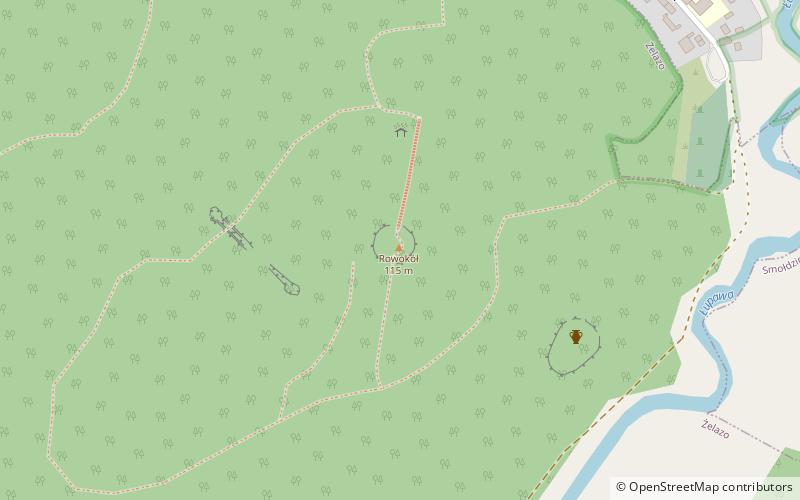
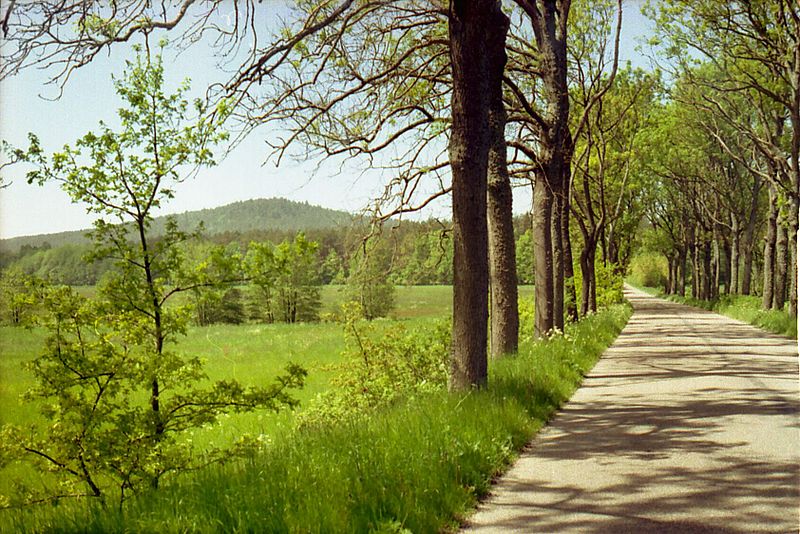
Rowokół is a postglacial hill 114.8 m above sea level on the Słowiński Coast, in Pomeranian Voivodeship, in Słupsk County, in Smołdzino municipality, 6 km from the sea.
It is located within the Slovinski National Park, very well visible from the sea navigation point, noted on the oldest nautical maps of this part of the Baltic Sea. About 0,5 km from the top of Rowokołu lies Smołdzino village.
Address
Slowinski National Park
ContactAdd
Social media
Add
Day trips
Rowokół – popular in the area (distance from the attraction)
Nearby attractions include: Czołpino Lighthouse, Lake Gardno, Jezioro Dołgie Małe, Muzeum Wsi Słowińskiej w Klukach.


