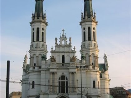
Church of the Holiest Saviour, Warsaw
Map
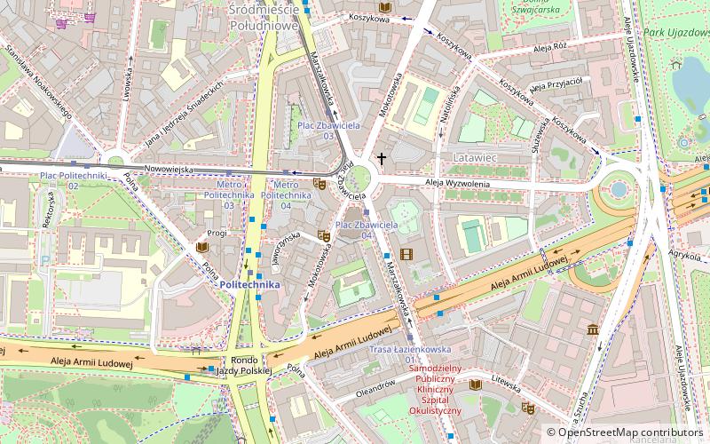
Map

Facts and practical information
Local name: Kościół Najświętszego Zbawiciela w Warszawie Architectural style: EclecticismCoordinates: 52°13'9"N, 21°1'4"E
Address
ul. Marszalkowska 37Śródmieścia (Śródmieście Południowe)Warsaw 00-639
Contact
+48 22 825 31 44
Social media
Add
Day trips
Church of the Holiest Saviour – popular in the area (distance from the attraction)
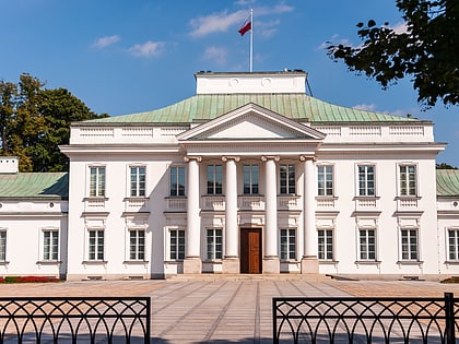
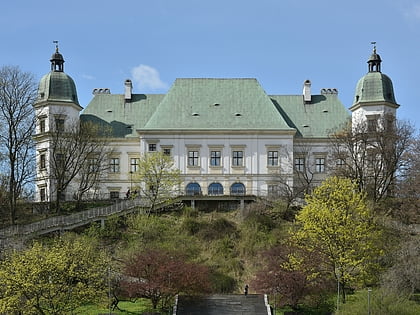
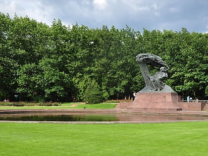
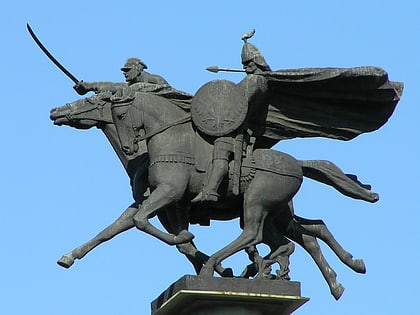
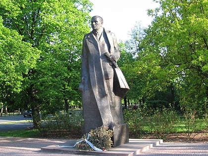
Nearby attractions include: Belweder, Ujazdów Castle, Frederic Chopin Monument, Ujazdów Park.
Frequently Asked Questions (FAQ)
Which popular attractions are close to Church of the Holiest Saviour?
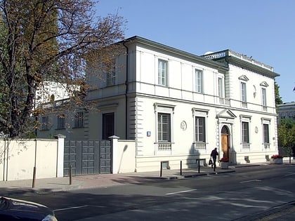
Nearby attractions include Savior Square, Warsaw (1 min walk), Sugar Palace, Warsaw (5 min walk), Muzeum Historii Polski, Warsaw (6 min walk), Warsaw Public Library – Central Library of Masovian Voivodeship, Warsaw (6 min walk).
How to get to Church of the Holiest Saviour by public transport?
The nearest stations to Church of the Holiest Saviour:
Tram
Bus
Metro
Train
Tram
- Plac Zbawiciela 04 • Lines: 10, 14, 18, 35, 4 (1 min walk)
- Metro Politechnika 04 • Lines: 10, 14, 15 (3 min walk)
Bus
- Savior Square 02 • Lines: N37 (2 min walk)
- Metro Politechnika 14 • Lines: 118, 514 (3 min walk)
Metro
- Politechnika • Lines: M1 (4 min walk)
- Pole Mokotowskie • Lines: M1 (22 min walk)
Train
- Warsaw City Center (22 min walk)
- Warsaw Central (24 min walk)
