Suchogórz, Wolin National Park
Map

Map

Facts and practical information
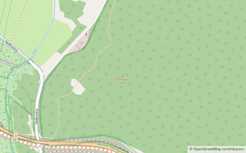
Suchogórz - an elevation of 75.1 m above sea level in the Wolin Range, on the island of Wolin, in the area of the Wolin National Park. Located in the county of Kamien Pomorski, the municipality Międzyzdroje.
About 0.6 km to the east is Leśnogóra. The national road no. 3 runs at the foot of the hill.
In 1949 the name Suchogórz was officially introduced, replacing the previous German name Dührings-Höhe.
Coordinates: 53°54'35"N, 14°26'37"E
Address
Wolin National Park
ContactAdd
Social media
Add
Day trips
Suchogórz – popular in the area (distance from the attraction)
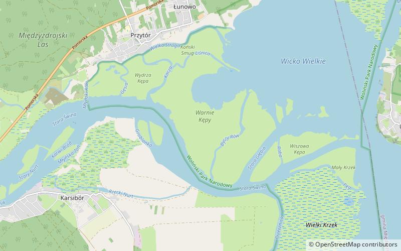
Nearby attractions include: Międzyzdroje Pier, Wielki Krzek, Warnie Kępy, Amphitheater.
Frequently Asked Questions (FAQ)
Which popular attractions are close to Suchogórz?
Nearby attractions include Leśnogóra, Wolin National Park (12 min walk), Bunkier V3 - Muzeum, Międzyzdroje (18 min walk).
How to get to Suchogórz by public transport?
The nearest stations to Suchogórz:
Train
Train
- Międzyzdroje (29 min walk)
- Lubiewo (31 min walk)


