Park Stare Koryto Warty, Poznań
Map

Gallery

Facts and practical information
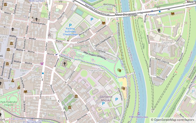
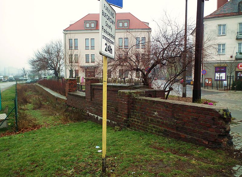
Old riverbed of the Warta River - a dry section of the old riverbed of the Warta River, located in Poznań, between St. Roch Bridge and the river port area. The port area is the only section that still has a water fill.
Elevation: 190 ft a.s.l.Coordinates: 52°24'27"N, 16°56'33"E
Address
Stare MiastoPoznań
ContactAdd
Social media
Add
Day trips
Park Stare Koryto Warty – popular in the area (distance from the attraction)
Nearby attractions include: Fara Church, City Hall, Poznań Croissant Museum, Wielkopolska Museum of Independence.
Frequently Asked Questions (FAQ)
Which popular attractions are close to Park Stare Koryto Warty?
Nearby attractions include Kościół pw. Wszystkich Świętych, Poznań (4 min walk), Plaża miejska Chwaliszewo, Poznań (4 min walk), Muzeum Etnograficzne, Poznań (4 min walk), Muzeum Bambrów Poznańskich, Poznań (6 min walk).
How to get to Park Stare Koryto Warty by public transport?
The nearest stations to Park Stare Koryto Warty:
Bus
Tram
Train
Light rail
Bus
- Grobla • Lines: 174, 176, 190, 221, 603 (6 min walk)
- Wielka • Lines: 174, 176, 190, 221, 603 (6 min walk)
Tram
- Katedra • Lines: 13, 16, 17, 201, 202, 3, 8 (7 min walk)
- Pl. Bernardyński • Lines: 5, 6, 9 (9 min walk)
Train
- Maltanka (16 min walk)
Light rail
- Poznań Garbary • Lines: Pkm2, Pkm3 (18 min walk)


