Mur miejski, Inowrocław
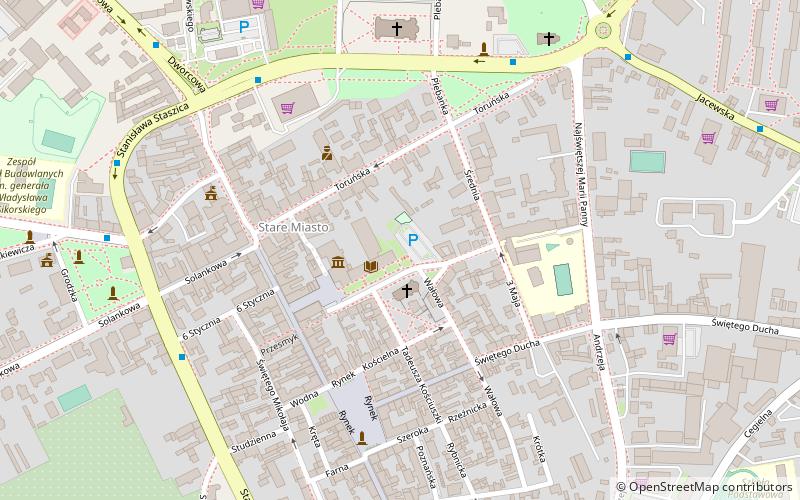
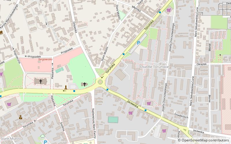
Map
Facts and practical information
Mur miejski (address: Plac Klasztorny 2) is a place located in Inowrocław (Kuyavian-Pomeranian voivodeship) and belongs to the category of ruins.
It is situated at an altitude of 328 feet, and its geographical coordinates are 52°47'50"N latitude and 18°15'38"E longitude.
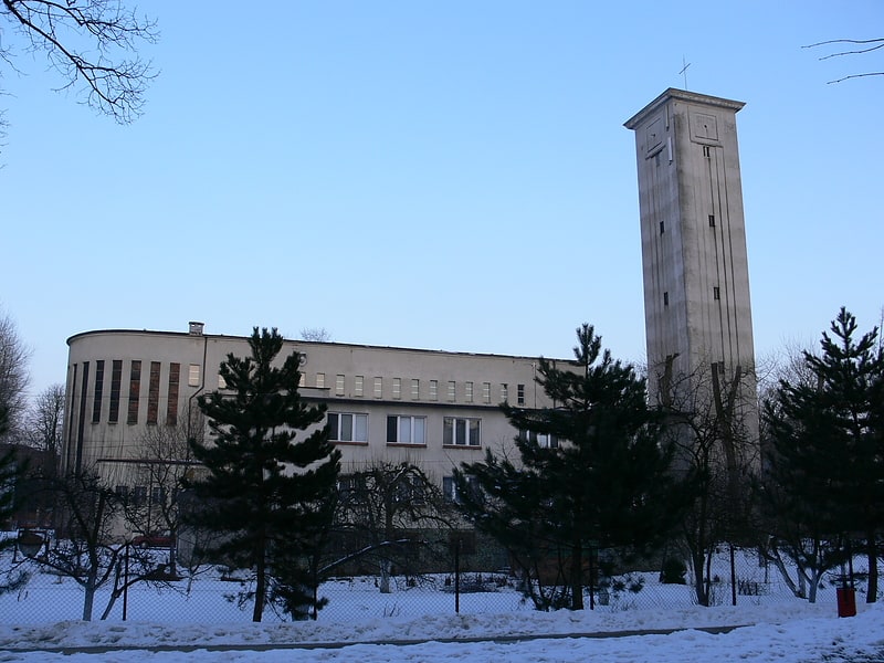
Among other places and attractions worth visiting in the area are: Basilica Minor under the invocation of the Blessed Lady Mary (church, 6 min walk), Wodny Park (watersports, 9 min walk), Kościół pw. Św. Józefa (church, 18 min walk).
Coordinates: 52°47'50"N, 18°15'38"E
Address
Plac Klasztorny 2Inowrocław
ContactAdd
Social media
Add
Day trips
Mur miejski – popular in the area (distance from the attraction)
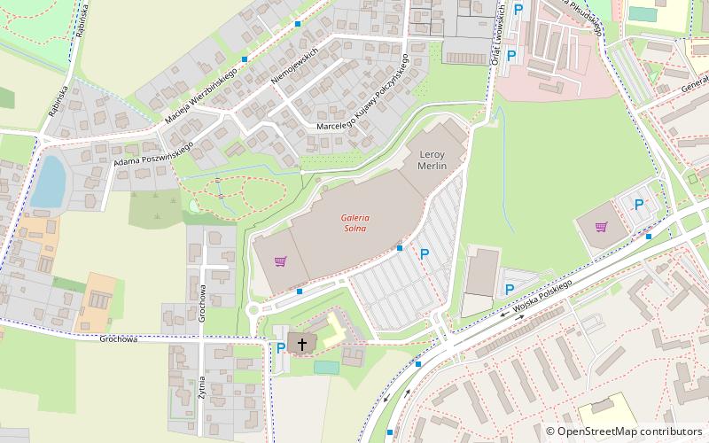
Nearby attractions include: Basilica Minor under the invocation of the Blessed Lady Mary, TĘŻNIE & Park Solankowy, Wodny Park, Galeria Solna.
Frequently Asked Questions (FAQ)
Which popular attractions are close to Mur miejski?
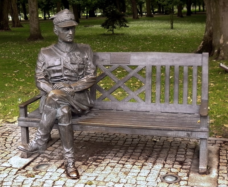
Nearby attractions include Basilica Minor under the invocation of the Blessed Lady Mary, Inowrocław (6 min walk), Kościół pw. Św. Józefa, Inowrocław (18 min walk), Ławeczka Władysława Sikorskiego, Inowrocław (23 min walk).