Podolany, Poznań
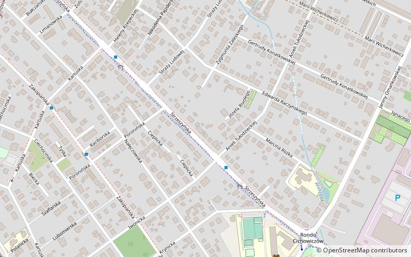
Map
Map

Facts and practical information
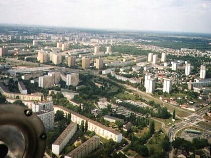
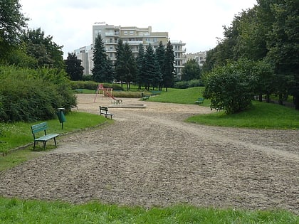
Podolany is a suburban neighbourhood of the city of Poznań in western Poland, located in the north-west of the city. Podolany was incorporated into the city partly in 1933, and partly under German occupation in 1940–42. It is mainly a residential district, but its southern parts contain industrial sites. ()
Address
Jeżyce (Podolany)Poznań
ContactAdd
Social media
Add
Day trips
Podolany – popular in the area (distance from the attraction)
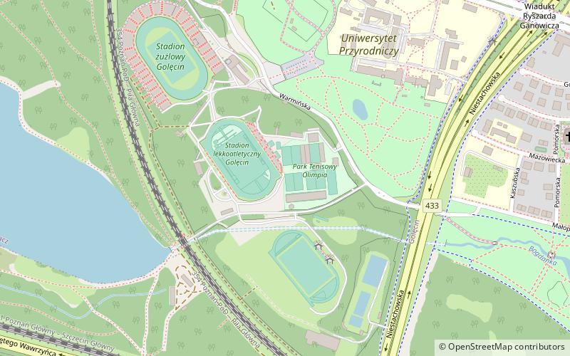
Nearby attractions include: Lake Rusałka, Armored Weaponry Museum, Park Tenisowy Olimpia, Morasko Meteorite Nature Reserve.
Frequently Asked Questions (FAQ)
Which popular attractions are close to Podolany?
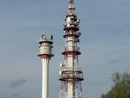
Nearby attractions include Piątkowo transmitter, Poznań (23 min walk), Piątkowo, Poznań (24 min walk).
How to get to Podolany by public transport?
The nearest stations to Podolany:
Bus
Train
Tram
Bus
- Tułodzieckiej • Lines: 168, 183, (N) 216, 226 (3 min walk)
- Rzepeckiej n/ż • Lines: 168, 183, (N) 216, 226 (5 min walk)
Train
- Poznań Podolany (12 min walk)
- Poznań Strzeszyn (26 min walk)
Tram
- Piątkowska • Lines: 11, 18, 99 (34 min walk)
- Lutycka Szpital • Lines: 11, 18, 99 (36 min walk)


