Załęże, Katowice
Map
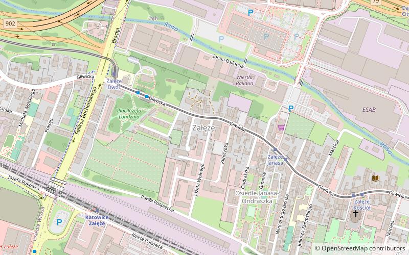
Map

Facts and practical information
Załęże is a district of Katowice, located in the north-western part of the city, in the central part of the Upper Silesian conurbation, on the Rawa river. It runs along Gliwicka street characteristic tortuous course of the city center to the border of Chorzów. ()
Address
Zespół dzielnic północnych (Załęże)Katowice
ContactAdd
Social media
Add
Day trips
Załęże – popular in the area (distance from the attraction)
Nearby attractions include: Silesian Amusement Park, Silesia City Center, Śląski Ogród Zoologiczny, Stadion GKS Katowice.
Frequently Asked Questions (FAQ)
Which popular attractions are close to Załęże?
Nearby attractions include Kościół Świętych Męczenników Jana i Pawła, Katowice (8 min walk), Kościół świętego Józefa, Katowice (9 min walk), Cmentarz parafii pw. św. Jana i Pawła, Katowice (10 min walk), Dąb, Katowice (11 min walk).
How to get to Załęże by public transport?
The nearest stations to Załęże:
Bus
Tram
Train
Bus
- Załęże Dwór • Lines: 70 (4 min walk)
- Załęże Stacja Kolejowa • Lines: 900 (7 min walk)
Tram
- Załęże Janasa • Lines: T20, T43, T7 (4 min walk)
- Dąb Church • Lines: T0, T11, T19, T23, T6 (10 min walk)
Train
- Katowice Załęże (7 min walk)
- Wesołe Miasteczko (13 min walk)


