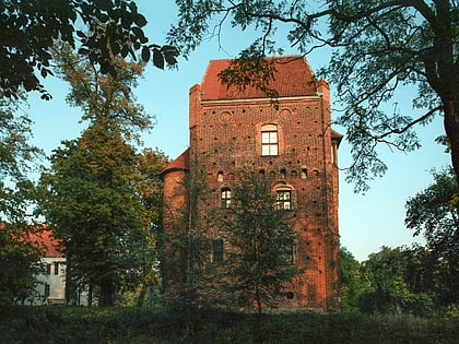
Urząd Miasta i Gminy Szamotuły, Szamotuły
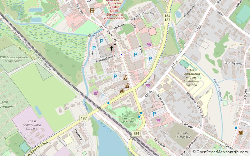

Facts and practical information
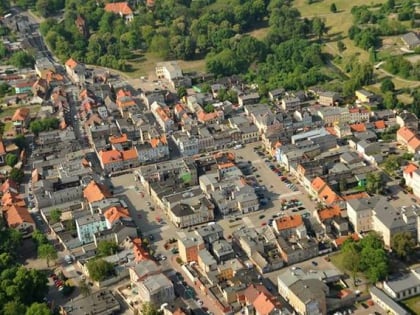
Urząd Miasta i Gminy Szamotuły (address: Ul. Dworcowa 26) is a place located in Szamotuły (Greater Poland voivodeship) and belongs to the category of city hall.
It is situated at an altitude of 217 feet, and its geographical coordinates are 52°36'26"N latitude and 16°34'56"E longitude.
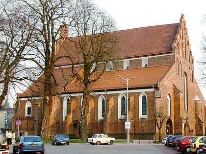
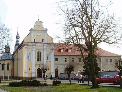
Among other places and attractions worth visiting in the area are: Kościół pw. Świętego Krzyża (church, 3 min walk), Collegiate Church of Our Lady of Consolation and St. Stanislaus the Bishop in Szamotuły (church, 12 min walk), Baszta Halszki z ok. 1518 r. (tower, 15 min walk).
Urząd Miasta i Gminy Szamotuły – popular in the area (distance from the attraction)
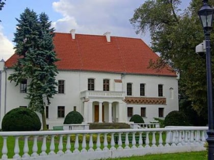
Nearby attractions include: Zamek Górków z XV-XVI w., Collegiate Church of Our Lady of Consolation and St. Stanislaus the Bishop in Szamotuły, Kościół pw. Świętego Krzyża, Baszta Halszki z ok. 1518 r..
