Falenica, Warsaw
Map
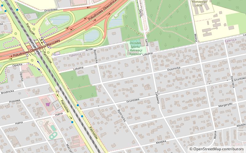
Map

Facts and practical information
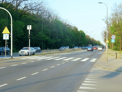
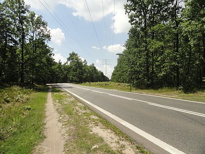
Falenica is a part of Wawer, one of districts of Warsaw, located on the right bank of the Vistula, in the far southeastern corner of the city. Until 1951 it was a separate village, then it became part of Warsaw. Before the Second World War Falenica, which is located in a forested area, was a favorite location for summer cottages and houses. ()
Address
Wawer (Falenica)Warsaw
ContactAdd
Social media
Add
Day trips
Falenica – popular in the area (distance from the attraction)
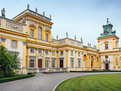
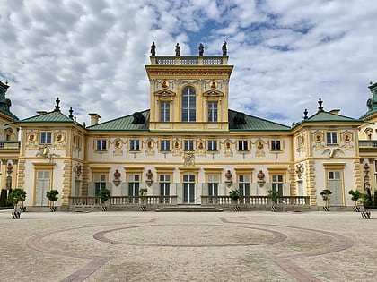
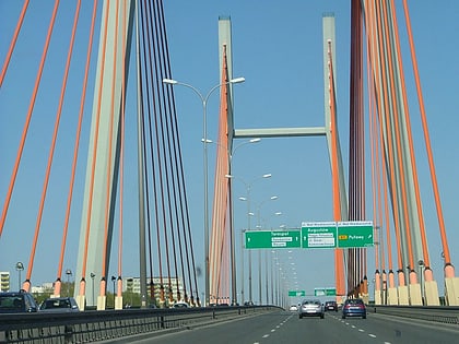
Nearby attractions include: Wilanów Palace, King John III Palace Museum, Centrum Kultury Wilanów, Most Siekierkowski.
Frequently Asked Questions (FAQ)
How to get to Falenica by public transport?
The nearest stations to Falenica:
Bus
Train
Bus
- Gruntowa 02 • Lines: 115 (5 min walk)
- Prasowa 02 • Lines: 142, 161, 521, N22 (6 min walk)
Train
- Warszawa Falenica (10 min walk)
- Warszawa Miedzeszyn (15 min walk)

