Muranów, Warsaw
Map
Gallery
Facts and practical information
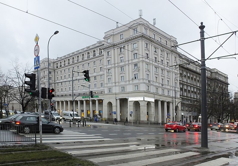
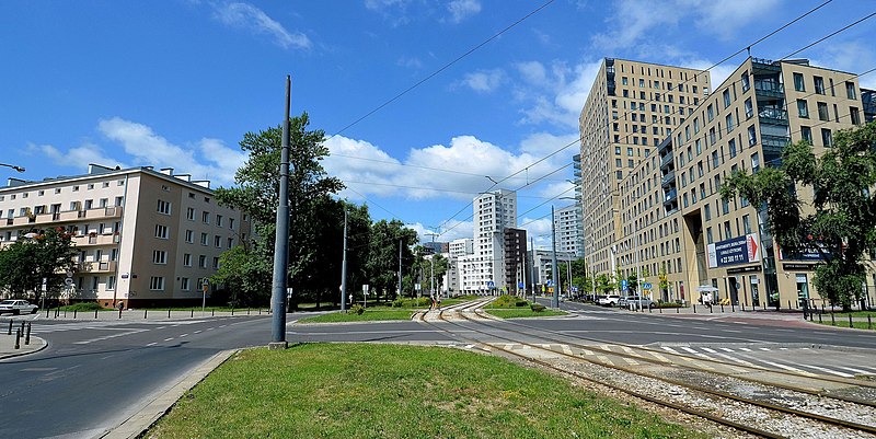
Muranów is a neighbourhood in the districts of Śródmieście and Wola in central Warsaw, the capital of Poland. It was founded in the 17th century. The name is derived from the palace belonging to Simone Giuseppe Belotti, a Venetian architect, who originally came to Warsaw from the island of Murano. It is the northernmost neighbourhood of the downtown area. ()
Address
Śródmieścia (Muranów)Warsaw
ContactAdd
Social media
Add
Day trips
Muranów – popular in the area (distance from the attraction)
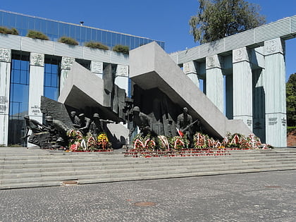
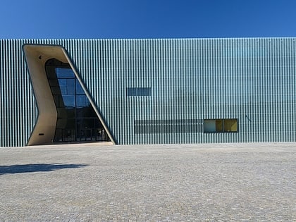
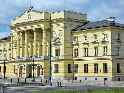
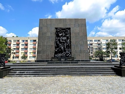
Nearby attractions include: Krasiński Palace, Warsaw Uprising Monument, POLIN Museum of the History of Polish Jews, Pawiak.
Frequently Asked Questions (FAQ)
Which popular attractions are close to Muranów?
Nearby attractions include Miła 18, Warsaw (3 min walk), Pomnik Bohaterów Getta, Warsaw (3 min walk), Żegota Monument, Warsaw (4 min walk), Nalewki Street, Warsaw (4 min walk).
How to get to Muranów by public transport?
The nearest stations to Muranów:
Bus
Tram
Metro
Train
Bus
- Inflancka 01 • Lines: 157 (4 min walk)
- Muranowska 03 • Lines: 157 (5 min walk)
Tram
- Dzika 04 • Lines: 35 (5 min walk)
- Muranowska 08 • Lines: 15, 18, 35 (5 min walk)
Metro
- Dworzec Gdański • Lines: M1 (12 min walk)
- Ratusz Arsenał • Lines: M1 (14 min walk)
Train
- Warszawa Gdańska (14 min walk)
- Warszawa Powązki (26 min walk)


