Wawer, Warsaw
Map
Facts and practical information
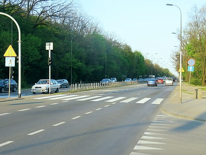
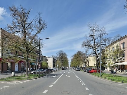
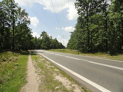
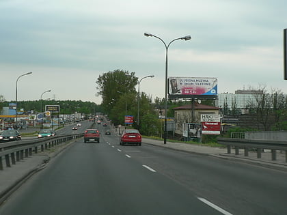
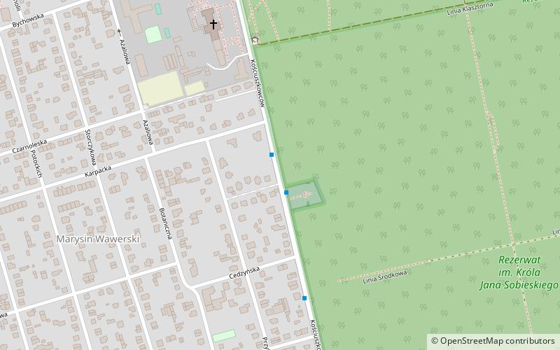
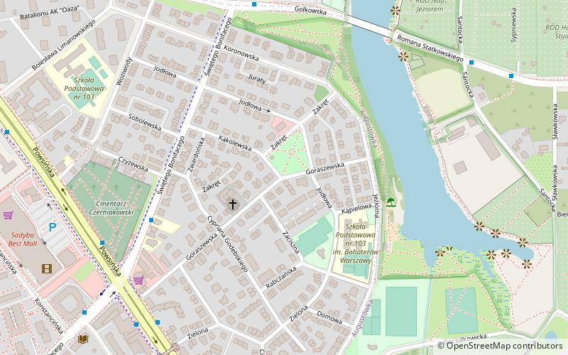
Wawer is one of the districts of Warsaw, located in the south-eastern part of the city. The Vistula river runs along its western border. Wawer became a district of Warsaw on 27 October 2002. ()
Day trips
Wawer – popular in the area (distance from the attraction)
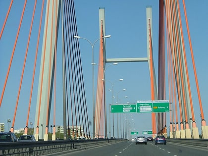
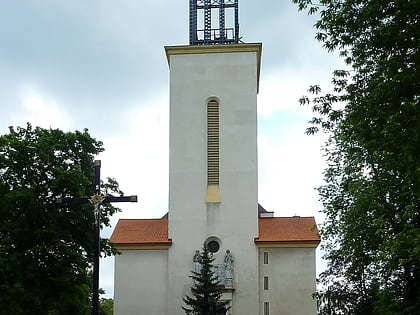
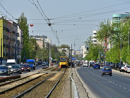
Nearby attractions include: Most Siekierkowski, Parafia Św. Feliksa, Wesolandia, Grochowska Street.
Frequently Asked Questions (FAQ)
How to get to Wawer by public transport?
The nearest stations to Wawer:
Bus
Train
Bus
- PKP Anin 02 • Lines: 521 (2 min walk)
- PKP Anin 01 • Lines: 521, N22 (2 min walk)
Train
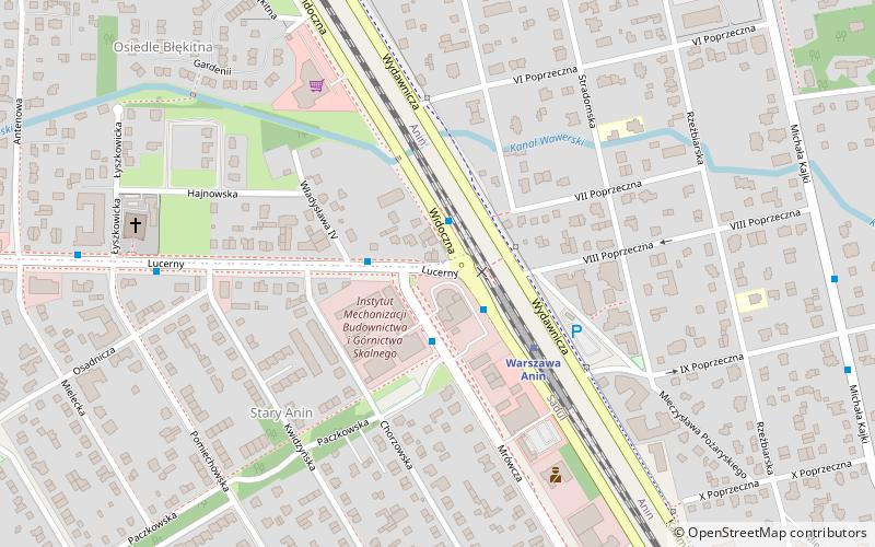
- Warszawa Anin (3 min walk)
- Warszawa Wawer (20 min walk)
