Grochów, Warsaw
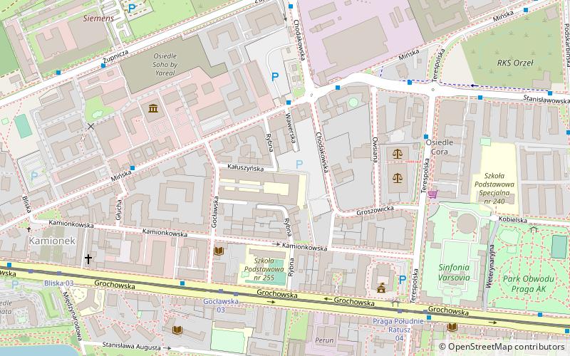
Map
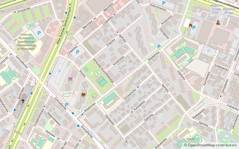
Map

Facts and practical information
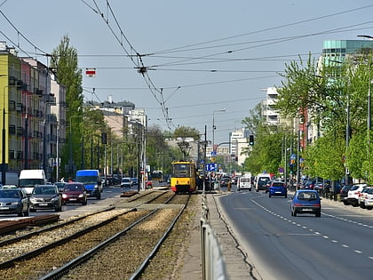
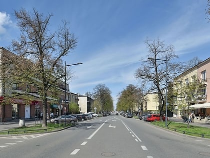
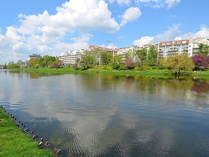
Grochów is a district of Warsaw, officially part of the borough of Praga-Południe although not connected at all to historical "Praga" district. It is one of the most notable residential areas of right-bank Warsaw. There are many blocks of flats, as well as many pre-WWI houses. Grochów is nicknamed "the lungs of Warsaw", owing to its many green spaces. Despite plans made by the former Communist authorities, Grochów had not transformed into strictly industrial district, even though it had been such in the 19th century. ()
Address
Praga Południe (Grochów)Warsaw
ContactAdd
Social media
Add
Day trips
Grochów – popular in the area (distance from the attraction)
Nearby attractions include: Grochowska Street, Praga-Południe, Kamionek, SWPS University.
Frequently Asked Questions (FAQ)
Which popular attractions are close to Grochów?
Nearby attractions include Praga-Południe, Warsaw (5 min walk), Grochowska Street, Warsaw (8 min walk), Gocław, Warsaw (14 min walk), Park im. Józefa Polińskiego w Warszawie, Warsaw (15 min walk).
How to get to Grochów by public transport?
The nearest stations to Grochów:
Bus
Tram
Train
Bus
- Osiedle Majdańska 04 • Lines: 135, 311 (5 min walk)
- Osiedle Majdańska 03 • Lines: 135, 158, 311 (6 min walk)
Tram
- Wiatraczna 06 • Lines: 24, 9 (8 min walk)
- Wiatraczna 11 • Lines: 9 (8 min walk)
Train
- Warszawa Olszynka Grochowska (26 min walk)

