Dąb, Katowice
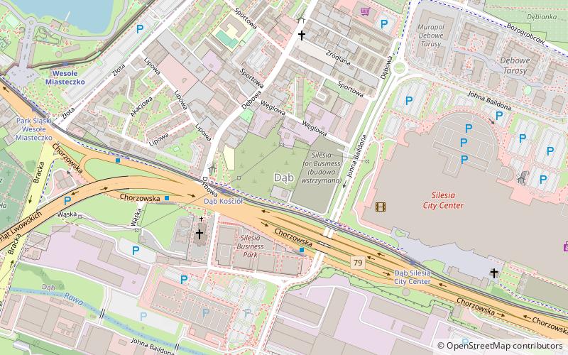
Map

Map

Facts and practical information
Dąb is a district of Katowice. It has an area of 1.86 km2 and in 2007 had 7,694 inhabitants. ()
Address
Zespół dzielnic północnych (Dąb)Katowice
ContactAdd
Social media
Add
Day trips
Dąb – popular in the area (distance from the attraction)
Nearby attractions include: Silesian Amusement Park, Spodek, Silesia City Center, Silesian Park.
Frequently Asked Questions (FAQ)
Which popular attractions are close to Dąb?
Nearby attractions include Kościół Świętych Męczenników Jana i Pawła, Katowice (4 min walk), Cmentarz parafii pw. św. Jana i Pawła, Katowice (11 min walk), Załęże, Katowice (11 min walk), Kościół świętego Józefa, Katowice (14 min walk).
How to get to Dąb by public transport?
The nearest stations to Dąb:
Tram
Bus
Train
Tram
- Dąb Church • Lines: T0, T11, T19, T23, T6 (3 min walk)
- Dąb Silesia City Center • Lines: T0, T11, T19, T23, T6 (6 min walk)
Bus
- Dąb Silesia Business Park • Lines: 110 (3 min walk)
- Dąb Kościół • Lines: 109, 110, 23, 6, 673, 674, 7, 7N, 830, 840, M24, M3 (5 min walk)
Train
- Wesołe Miasteczko (9 min walk)
- Zoo (16 min walk)


