Old Mokotów, Warsaw
Map
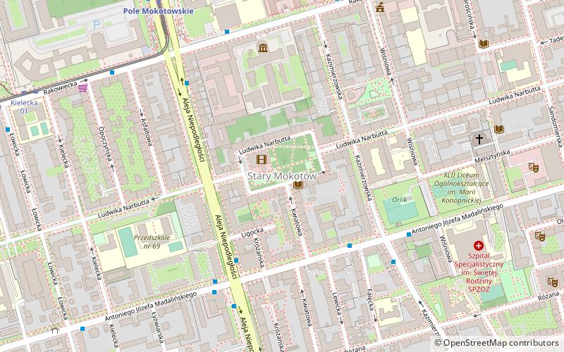
Map

Facts and practical information
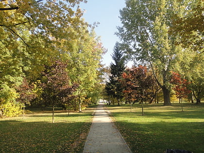
Old Mokotow is the oldest neighborhood of the Mokotów district in Warsaw, Poland. It is located in the north-western part of the Mokotów district on the characteristic Vistula embankment. Largely a residential neighborhood, Stary Mokotów is home to several embassies and historic parks. ()
Address
Mokotów (Stary Mokotów)Warsaw
ContactAdd
Social media
Add
Day trips
Old Mokotów – popular in the area (distance from the attraction)
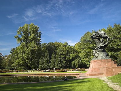
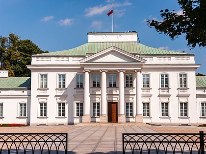
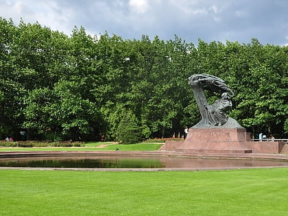
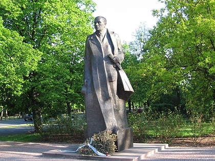
Nearby attractions include: Łazienki Park, Belweder, Frederic Chopin Monument, Supersam Warsaw.
Frequently Asked Questions (FAQ)
Which popular attractions are close to Old Mokotów?
Nearby attractions include SGH Warsaw School of Economics, Warsaw (7 min walk), Muzeum Geologiczne, Warsaw (9 min walk), Mokotów, Warsaw (11 min walk), Polona, Warsaw (18 min walk).
How to get to Old Mokotów by public transport?
The nearest stations to Old Mokotów:
Bus
Metro
Tram
Bus
- Madalińskiego 02 • Lines: 130, 168, 174, 200, N36, N86 (4 min walk)
- Madalińskiego-Szpital 02 • Lines: 138 (4 min walk)
Metro
- Pole Mokotowskie • Lines: M1 (8 min walk)
- Racławicka • Lines: M1 (12 min walk)
Tram
- Metro Pole Mokotowskie 03 • Lines: 17, 33, 41 (8 min walk)
- Kielecka 01 • Lines: 17, 33, 41 (9 min walk)

