Poniatowski Bridge, Warsaw
Map
Gallery
Facts and practical information
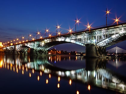
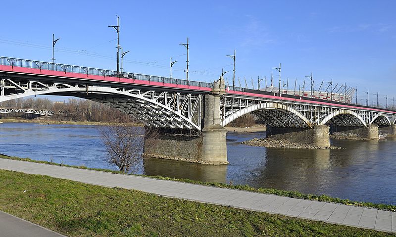
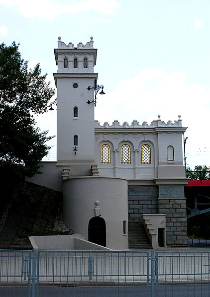
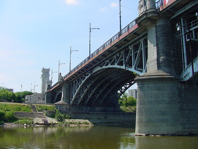
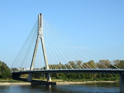
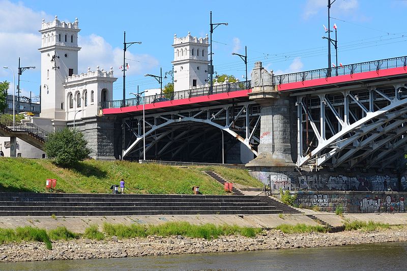
The Poniatowski Bridge is a bridge in Warsaw, Poland. Originally built between 1904 and 1914, it was damaged in each World War and rebuilt after each. It spans the Vistula River, connecting Warsaw's Powiśle and Praga districts. Its viaduct is an extension of Jerusalem Avenue, a principal Warsaw thoroughfare. ()
Local name: Most Poniatowskiego Opened: 1914 (112 years ago)Length: 1660 ftWidth: 70 ftCoordinates: 52°14'10"N, 21°2'28"E
Address
Praga Południe (Kamionek)Warsaw
ContactAdd
Social media
Add
Day trips
Poniatowski Bridge – popular in the area (distance from the attraction)
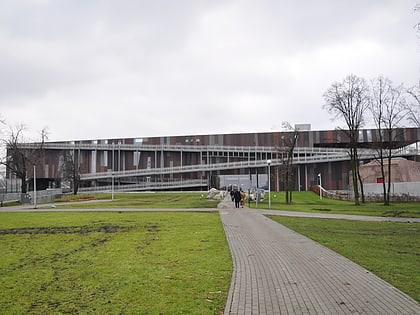
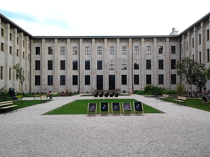
Nearby attractions include: Copernicus Science Centre, National Museum, National Stadium, Polish Army Museum.
Frequently Asked Questions (FAQ)
Which popular attractions are close to Poniatowski Bridge?
Nearby attractions include Poniatówka Beach, Warsaw (2 min walk), Średnicowy Bridge, Warsaw (7 min walk), Muzeum Azji i Pacyfiku, Warsaw (7 min walk), Ateneum Theatre, Warsaw (10 min walk).
How to get to Poniatowski Bridge by public transport?
The nearest stations to Poniatowski Bridge:
Bus
Tram
Metro
Train
Bus
- Most Poniatowskiego 06 • Lines: 185 (4 min walk)
- Wybrzeże Szczecińskie 02 • Lines: 102, 146, 147, 902 (7 min walk)
Tram
- Most Poniatowskiego 03 • Lines: 22, 24, 25, 7, 9 (5 min walk)
- Rondo Waszyngtona 07 • Lines: 22, 25, 7 (11 min walk)
Metro
- Centrum Nauki Kopernik • Lines: M2 (13 min walk)
- Stadion Narodowy • Lines: M2 (20 min walk)
Train
- Warszawa Powiśle (15 min walk)
- Warszawa Stadion (16 min walk)
