Trek Zone

Portalegre District, Portalegre

#5 among attractions in Portalegre

Neighbourhood
Portalegre District location map
Map

Facts and practical information
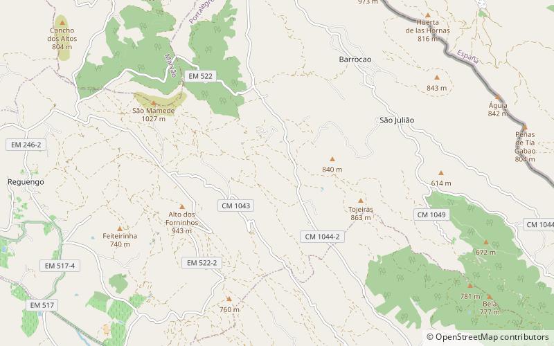
Local name: Distrito de Portalegre Area: 2341.71 mi²Coordinates: 39°17'28"N, 7°25'55"W
Address

Portalegre Portugal

ContactAdd
Social media
Add
Day trips

Portalegre District – popular in the area (distance from the attraction)

Nearby attractions include: Roman villa of Ammaia, Castelo de Portalegre, Sé de Portalegre, Serra de São Mamede.

  • roman villa of ammaia marvao6 miNE
  • castelo de portalegre~380 ftE
  • se de portalegre~530 ftW
  • serra de sao mamede4.4 miE
  • serra de sao mamede natural park location map
    5.5 miE
  • senhora da penha portalegre0.7 miNW

Frequently Asked Questions (FAQ)

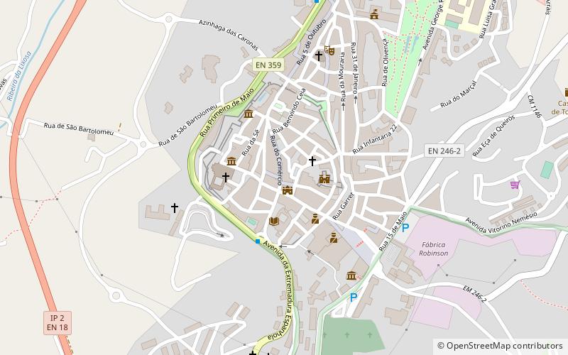
Which popular attractions are close to Portalegre District?

Nearby attractions include Castelo de Portalegre, Portalegre (2 min walk), Sé de Portalegre, Portalegre (3 min walk), Senhora da Penha, Portalegre (18 min walk).

Where to next? Visit portalegre Portalegre region page or discover the top tourist attractions in Portugal.