Sintra Mountains, Sintra
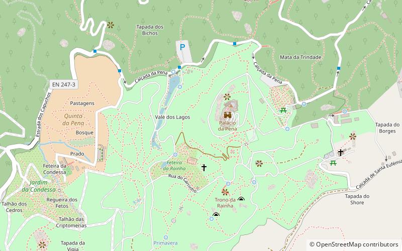
Map
Map

Facts and practical information
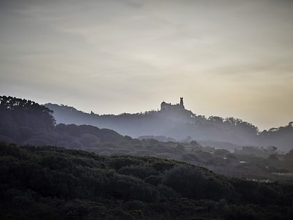
The Sintra Mountains, is a mountain range in western Portugal. Its highest point is at 529 meters near Sintra. The range covers about 16 kilometers from the resort town of Sintra to Cabo da Roca on the Atlantic Ocean. It was known to the Ancient World as Lunae Mons and was the legendary retreat of Diana the Huntress. ()
Address
Sintra
ContactAdd
Social media
Add
Day trips
Sintra Mountains – popular in the area (distance from the attraction)
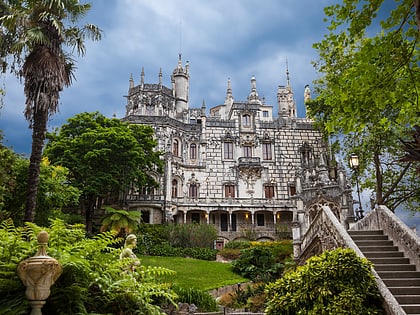
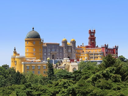
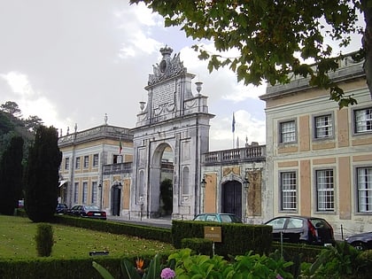
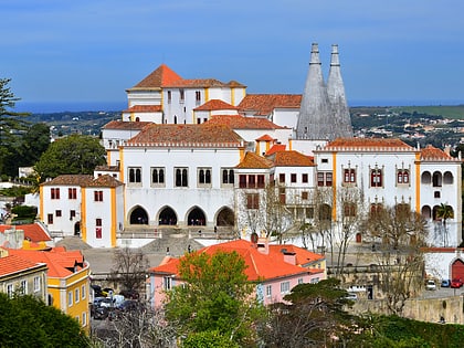
Nearby attractions include: Quinta da Regaleira, Pena Palace, Seteais Palace, Palace of Sintra.
Frequently Asked Questions (FAQ)
Which popular attractions are close to Sintra Mountains?
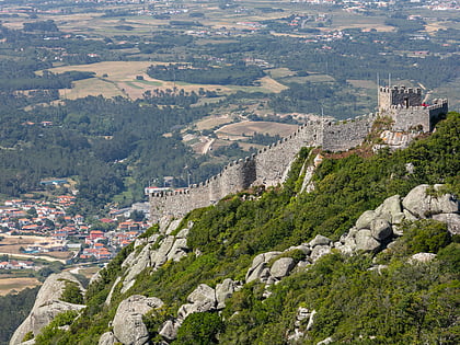
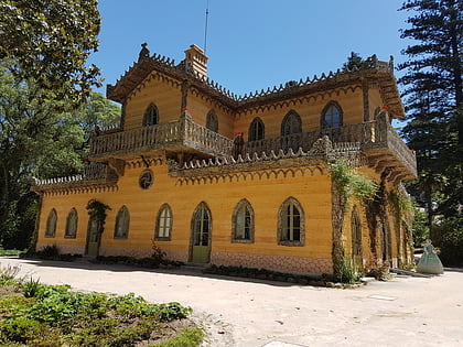
Nearby attractions include Pena Palace, Sintra (2 min walk), Castle of the Moors, Sintra (11 min walk), Chalet and Garden of the Countess of Edla, Sintra (11 min walk), Igreja de Santa Maria, Sintra (16 min walk).
How to get to Sintra Mountains by public transport?
The nearest stations to Sintra Mountains:
Bus
Train
Tram
Bus
- Castelo Mouros • Lines: 434 (6 min walk)
- Palácio da Pena • Lines: 434 (7 min walk)
Train
- Sintra (24 min walk)
- Portela de Sintra (34 min walk)
Tram
- Ribeira de Sintra (27 min walk)
- Terminal Sintra • Lines: Praia das Maçãs → Sintra, Sintra → Praia das Maçãs (33 min walk)
