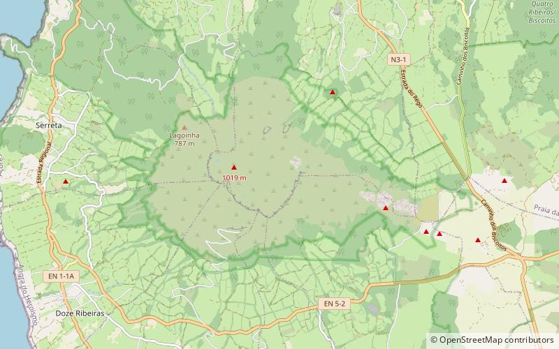
Serra de Santa Bárbara, Terceira Island
Map

Map

Facts and practical information
Serra de Santa Bárbara is the peak of an inactive volcano in the western part of the island of Terceira, Azores, Portugal. At 1,021 m elevation, it is the highest point of the island. It is named after the village located on the coast to the south, Santa Bárbara in the municipality of Angra do Heroísmo. ()
Address
Terceira Island
ContactAdd
Social media
Add
Day trips
Serra de Santa Bárbara – popular in the area (distance from the attraction)
Nearby attractions include: Gruta do Natal, Fort of Cinco Ribeiras, Santa Catarina Palace, Lagoa do Negro.


