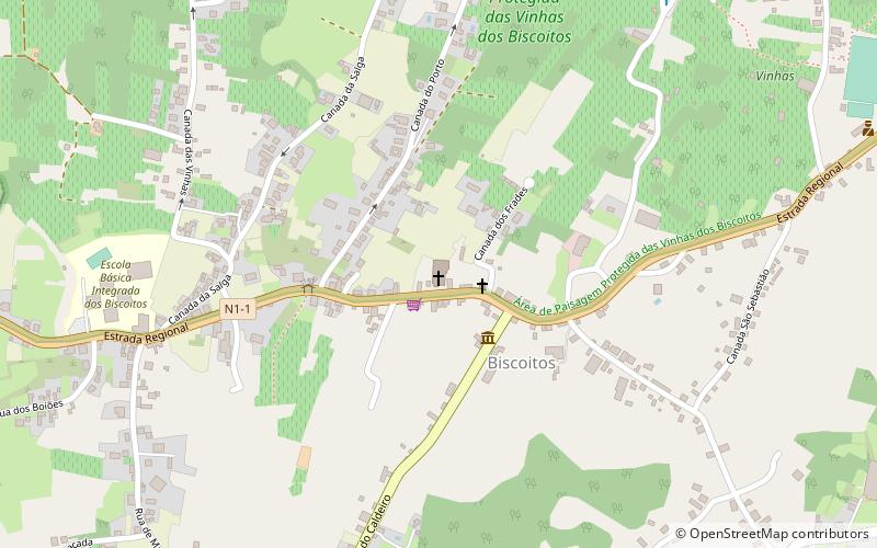
Igreja do Imaculado Coração de Maria, Terceira Island
Map

Map

Facts and practical information
Igreja do Imaculado Coração de Maria is a place located in Terceira Island (Azores autonomous region) and belongs to the category of church.
It is situated at an altitude of 207 feet, and its geographical coordinates are 38°47'38"N latitude and 27°15'35"W longitude.
Among other places and attractions worth visiting in the area are: Igreja de São Roque (church, 55 min walk), Gruta do Natal (nature, 55 min walk), Lagoa do Negro (lake, 99 min walk).
Area: 10.15 mi²Coordinates: 38°47'38"N, 27°15'35"W
Address
Terceira Island
ContactAdd
Social media
Add
Day trips
Igreja do Imaculado Coração de Maria – popular in the area (distance from the attraction)
Nearby attractions include: Clube de Golfe da Ilha Terceira, Serra de Santa Bárbara, Gruta do Natal, Algar do Carvão.


