Praia da Oura, Albufeira
Map

Map

Facts and practical information
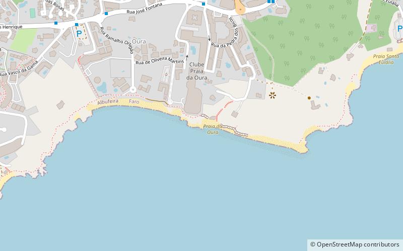
Praia da Oura is a blue flag beach within the Municipality of Albufeira, in the Algarve, Portugal. The beach is in the eastern district of Albufeira in the neighbourhood called Areias de São João. Its flanked by Praia dos Aveiros to the west and Praia de Santa Eulália to the eastern side. The beach is approximately 900 metres in length and is 450 metres wide at low tide. ()
Day trips
Praia da Oura – popular in the area (distance from the attraction)
Nearby attractions include: Praia dos Aveiros, Praia do Inatel, Praia dos Alemães, Praia Santa Eulália.
Frequently Asked Questions (FAQ)
Which popular attractions are close to Praia da Oura?
Nearby attractions include Praia dos Aveiros, Albufeira (13 min walk), Praia Santa Eulália, Albufeira (14 min walk), Avenida Vasco da Gama, Albufeira (15 min walk), Bullring, Albufeira (18 min walk).
How to get to Praia da Oura by public transport?
The nearest stations to Praia da Oura:
Bus
Bus
- Pedra dos Bicos • Lines: Giro - Linha Verde (8 min walk)
- Oura • Lines: Giro - Linha Verde (9 min walk)


