Avenida Vasco da Gama, Albufeira
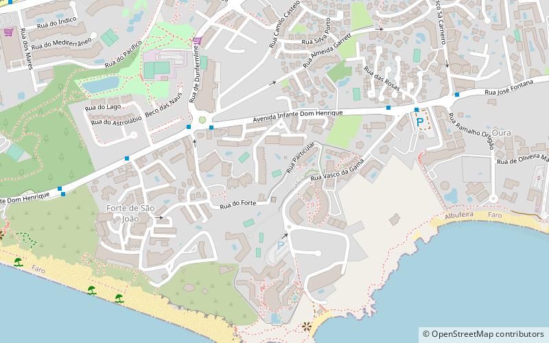
Map

Gallery

Facts and practical information
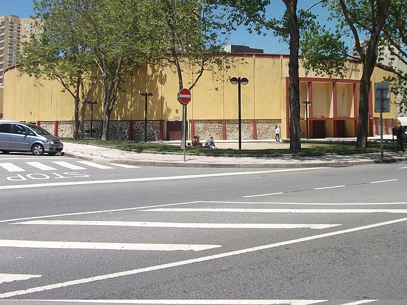
Avenida Vasco da Gama is a street in the north central area of Póvoa de Varzim, Portugal. It is one of the main avenues in the city, with hotels, banks, sports areas, bars and is the location in the city with most high-rises. It runs from Avenida do Mar, expansion of the avenue to A28 Motorway, and Rua Gomes de Amorim to Avenida dos Banhos in the waterfront. It has some of Póvoa de Varzim's most famous landmarks such as Touro and Póvoa de Varzim Bullring. ()
Coordinates: 37°5'14"N, 8°13'58"W
Address
Albufeira
ContactAdd
Social media
Add
Day trips
Avenida Vasco da Gama – popular in the area (distance from the attraction)
Nearby attractions include: Praia dos Pescadores, Praia dos Aveiros, Praia do Inatel, Praia do Túnel.
Frequently Asked Questions (FAQ)
Which popular attractions are close to Avenida Vasco da Gama?
Nearby attractions include Praia dos Aveiros, Albufeira (7 min walk), Praia dos Alemães, Albufeira (9 min walk), Praia da Oura, Albufeira (15 min walk), Praia do Inatel, Albufeira (18 min walk).
How to get to Avenida Vasco da Gama by public transport?
The nearest stations to Avenida Vasco da Gama:
Bus
Bus
- Três Palmeiras • Lines: Giro - Linha Verde (4 min walk)
- Areias de São João • Lines: Giro - Linha Verde (6 min walk)


