Protected Landscape of Barreiro da Faneca, Horta
Map

Gallery

Facts and practical information
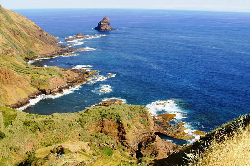
The Protected Landscape of Barreiro da Faneca is a geological region and protected landscape of the Portuguese island of Santa Maria, Azores. The protected area is given its name by the Barreiro da Faneca, nicknamed the "Red Desert of the Azores", an arid and clayey landscape formed during the Pliocene, unique not only to the island but to all of Portugal. ()
Local name: Área da Paisagem Protegida do Barreiro da Faneca e Costa Norte Area: 3225.49 mi²Coordinates: 38°32'2"N, 28°37'45"W
Address
Horta
ContactAdd
Social media
Add
Day trips
Protected Landscape of Barreiro da Faneca – popular in the area (distance from the attraction)
Nearby attractions include: Porto Pim Whale Factory Museum, Botanical Garden of Faial, Praia da Conceição, Palacete of Pilar.
Frequently Asked Questions (FAQ)
Which popular attractions are close to Protected Landscape of Barreiro da Faneca?
Nearby attractions include Santa Maria Natural Park, Horta (1 min walk), Nature Park of Flores, Horta (1 min walk), Torre do Relógio, Horta (15 min walk), Jardim Florêncio Terra, Horta (15 min walk).
How to get to Protected Landscape of Barreiro da Faneca by public transport?
The nearest stations to Protected Landscape of Barreiro da Faneca:
Bus
Bus
- Rua Marcelino de Lima • Lines: Linha Verde, Linha Vermelha (2 min walk)
- Rua Cônsul Dabney • Lines: Linha Verde, Linha Vermelha (3 min walk)


