Castro de Monte Padrão

Gallery (2)
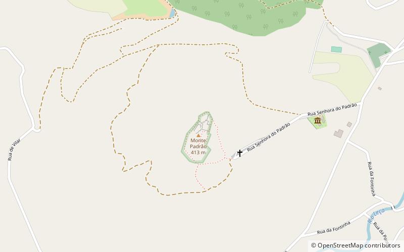
Map
Map
Gallery
Facts and practical information
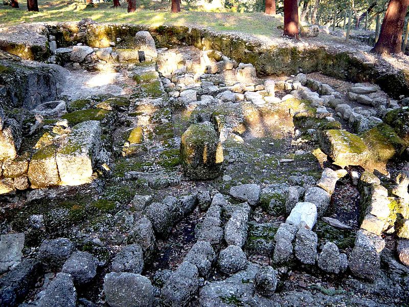
The Castro do Monte Padrão or former Castro do Monte Córdova is constituted by vestiges of a fortified settlement that is located in one of the highest points of Monte Padrão, approximately 7 km southeast of Santo Tirso, in the parish of Monte Córdova. It is implanted in a spur over the Leça river. It was founded in the 9th century BC and remained populated until the Middle Ages. It is classified by the IPPAR as a National Monument by the Decree of June 16, 1910, and by Decree 38 491 of November 6, 1951.
Day trips


