Aguirre State Forest

Map
Facts and practical information
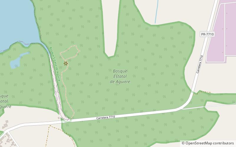
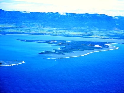
The Aguirre State Forest is a 2,393-acre nature reserve on the south coast of Puerto Rico and one of the commonwealth's 20 state forests. It mainly consists of mangroves and floodplain forests, and it borders the Jobos Bay National Estuarine Research Reserve. The Aguirre State Forest is owned and administered by Puerto Rico. It was established in 1918 by Puerto Rico governor Arthur Yager to protect the mangrove forests areas between the municipalities of Guayama and Santa Isabel. ()
Location
Guayama
ContactAdd
Social media
Add
Day trips
Aguirre State Forest – popular in the area (distance from the attraction)
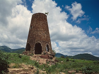
Nearby attractions include: Iglesia de San Antonio de Padua, Casa Cautiño, Bahía de Jobos, Ingenio Azucarero Vives.


