Cayey Bridge, Guayama
Map

Map

Facts and practical information
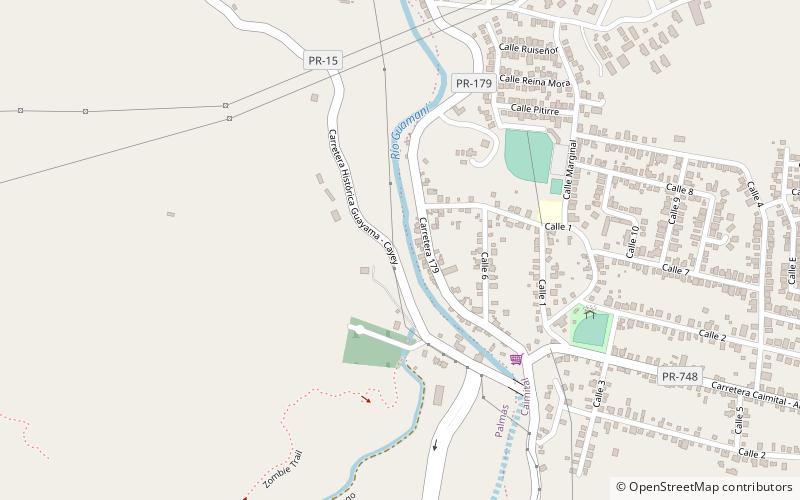
The Cayey Bridge, also known as Puente de Cayey, is an iron lateral lattice girder bridge in Puerto Rico that was built in 1891. It brings Puerto Rico Highway 15 over the Guamaní River. ()
Built: 1891 (135 years ago)Coordinates: 18°0'9"N, 66°6'55"W
Address
Guayama
ContactAdd
Social media
Add
Day trips
Cayey Bridge – popular in the area (distance from the attraction)
Nearby attractions include: Iglesia de San Antonio de Padua, Casa Cautiño, Punta de las Figuras Light, Aguirre State Forest.


