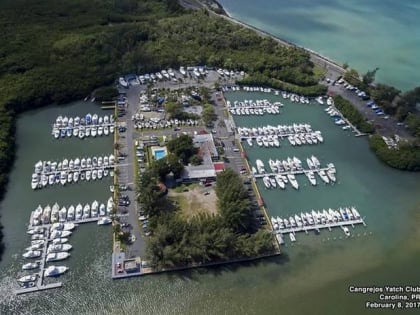
Congrejos Yacht Club, San Juan
Map
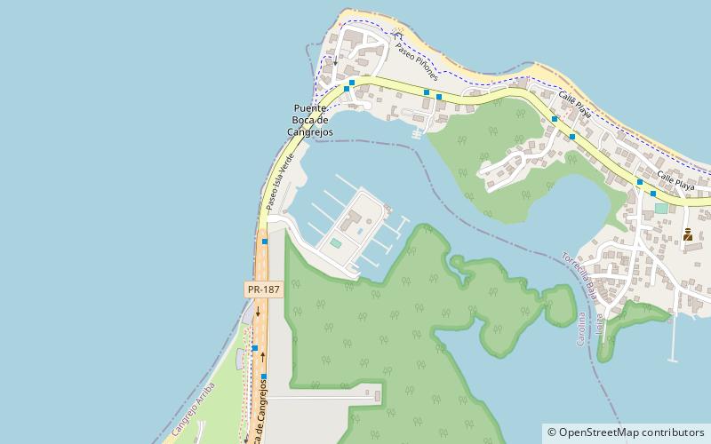
Map

Facts and practical information
Congrejos Yacht Club (address: Carr. 187 Km 3) is a place located in San Juan (Carolina municipality) and belongs to the category of sailing, marina.
It is situated at an altitude of 13 feet, and its geographical coordinates are 18°27'21"N latitude and 65°59'30"W longitude.
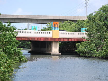
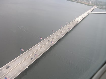
Among other places and attractions worth visiting in the area are: Isla Verde (neighbourhood, 42 min walk), Colegio Nuestra Señora de la Piedad School Park (park, 73 min walk), Teodoro Moscoso Bridge (bridge, 79 min walk).
Coordinates: 18°27'21"N, 65°59'30"W
Address
Carr. 187 Km 3Cangrejo ArribaSan Juan
ContactAdd
Social media
Add
Day trips
Congrejos Yacht Club – popular in the area (distance from the attraction)
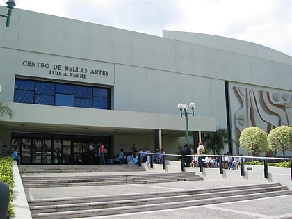
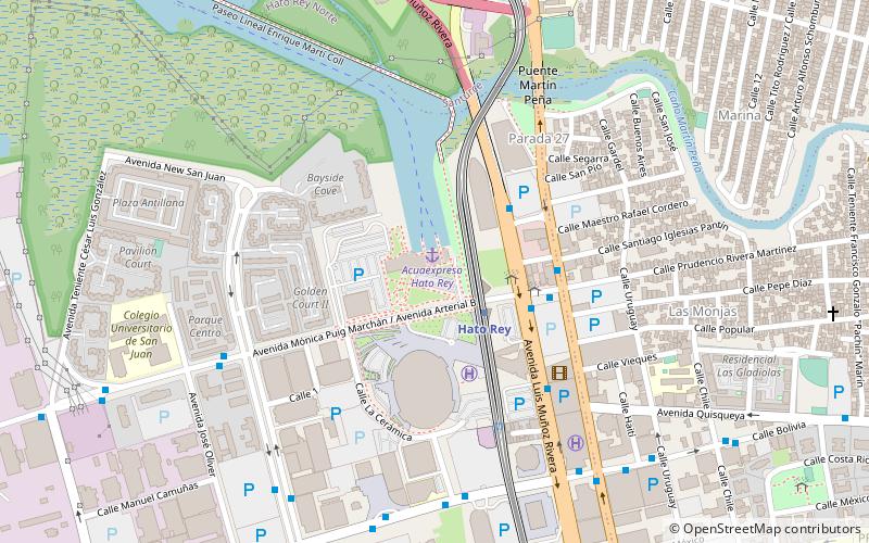
Nearby attractions include: Plaza Las Américas, Coliseo de Puerto Rico, The Mall of San Juan, Estadio Hiram Bithorn.
