Caparra Archaeological Site, Guaynabo
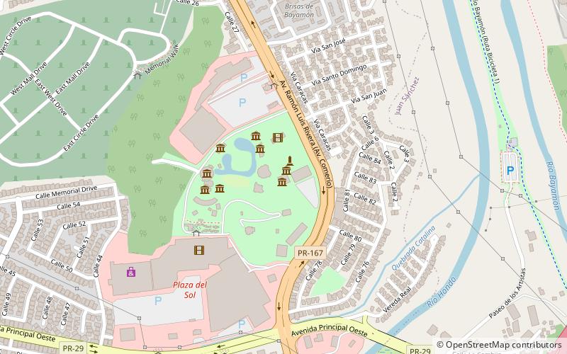
Map
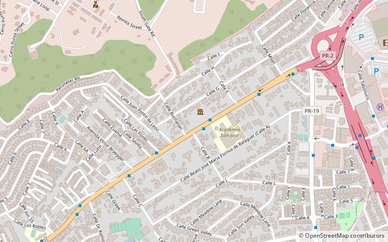
Map

Facts and practical information
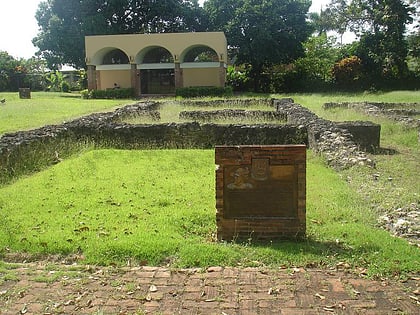
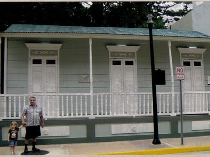
Caparra is an archaeological site in the municipality of Guaynabo, Puerto Rico. It was declared a U.S. National Historic Landmark in 1994. The site contains the remains of the first Spanish capital of the island, settled in 1508 and abandoned in 1521. It represents the oldest known European settlement on United States territory. ()
Coordinates: 18°24'18"N, 66°6'51"W
Address
Pueblo ViejoGuaynabo
ContactAdd
Social media
Add
Day trips
Caparra Archaeological Site – popular in the area (distance from the attraction)
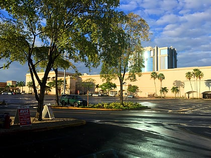
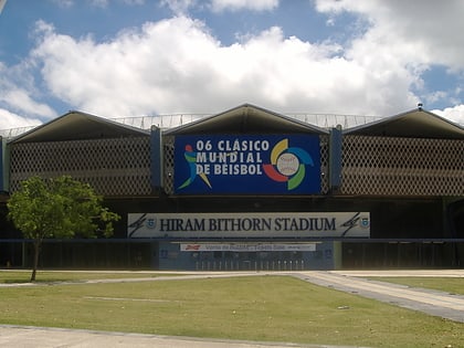
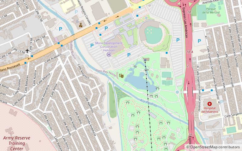
Nearby attractions include: Plaza Las Américas, San Patricio Plaza, Estadio Hiram Bithorn, Santa Rosa Mall.
Frequently Asked Questions (FAQ)
How to get to Caparra Archaeological Site by public transport?
The nearest stations to Caparra Archaeological Site:
Metro
Bus
Metro
- Torrimar • Lines: Tren Urbano (25 min walk)
- Jardines • Lines: Tren Urbano (31 min walk)
Bus
- Terminal Martínez Nadal (33 min walk)
